Reading the Ocean Like a Map in Motion
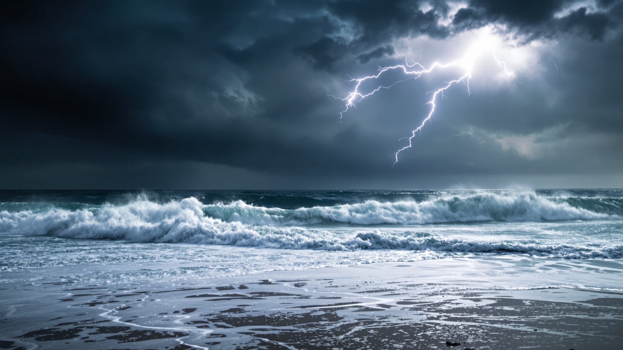
The global ocean is never still. Beneath its surface lies a constantly shifting network of energy transfers, atmospheric pressures, and distant storm systems that collectively shape the waves we see along coastlines. For surfers, sailors, coastal planners, and ocean enthusiasts, understanding where the biggest swells are forming this week is less about chance and more about interpreting a dynamic, data-driven narrative. Global wave forecasts translate this narrative into actionable insight, revealing not only where waves will break, but how they were born thousands of miles away.mAt any given moment, wave energy generated in one hemisphere may already be en route to another. A storm spinning off Antarctica can send powerful pulses toward Indonesia, while a North Pacific low-pressure system can energize coastlines from Hawaii to California. These connections make global wave forecasting both a science and an art, combining meteorology, oceanography, and advanced modeling to predict the movement of swell across vast distances.
A: Strong, long-duration storms with large fetch areas generate the most powerful swells.
A: The time between wave crests—longer periods indicate more powerful waves.
A: Thousands of miles across ocean basins with minimal energy loss.
A: They clean up wave faces, improving surf quality.
A: The angle from which waves approach the coastline.
A: Highly accurate within a few days, less certain beyond a week.
A: Strong onshore winds and chaotic local weather conditions.
A: Long-period waves generated by distant storms.
A: Yes, tides change how and where waves break.
A: Typically in regions impacted by active storm tracks—check live forecasts for specifics.
The Anatomy of a Swell Event
To understand where the biggest swells are forming this week, it’s essential to break down the anatomy of a swell event. Waves are not simply caused by local wind; the most significant swells originate from sustained wind fields over large stretches of ocean known as fetch zones. When wind blows consistently over a long distance and duration, it transfers energy into the water, creating organized wave systems that can travel thousands of miles with minimal loss of power.
Three primary variables define swell generation: wind speed, fetch length, and wind duration. Strong winds alone are not enough. Without sufficient fetch and time, waves remain disorganized and short-lived. However, when all three factors align within a powerful storm system, the result is long-period swell—waves with greater spacing between crests that carry more energy and travel farther.
These long-period swells are the ones that create iconic surf conditions. They refract around coastlines, wrap into bays, and interact with underwater topography to produce waves of remarkable size and shape. This week’s largest swells are being shaped by precisely these conditions, emerging from key storm systems across the globe.
North Pacific Powerhouses: Winter’s Last Push
In the North Pacific, late-season storm activity continues to generate significant swell energy. A deep low-pressure system positioned near the Aleutian Islands has intensified over the past several days, producing gale to storm-force winds across an expansive fetch. This setup is ideal for generating long-period northwest swell, which is now propagating toward major surf regions.
Hawaii is among the first to feel the impact. The island chain’s exposure to northwest swell makes it a prime target for energy originating from the Aleutians. Forecast models indicate wave periods exceeding 16 seconds, a clear indicator of powerful, well-organized swell. These conditions favor outer reef breaks and deep-water wave formations, where wave faces can reach impressive heights.
Further east, the same swell train is expected to impact the U.S. West Coast. California’s coastline, particularly Northern and Central regions, will see a rise in surf height as the swell arrives. Due to the angle of approach, certain breaks will amplify the energy through bathymetric focusing, creating larger-than-expected waves at select locations.
Japan’s Pacific-facing coasts are also in the path of this system. Although partially shadowed by landmasses, enough energy will refract into exposed areas to produce solid surf conditions, especially where coastal orientation aligns with the incoming swell direction.
Southern Ocean Giants: The Engine of Global Swell
While the North Pacific captures attention during its active seasons, the Southern Ocean remains the most consistent generator of large swells on Earth. This week, a series of strong low-pressure systems has developed along the circumpolar storm track, producing some of the most powerful wave-generating conditions currently on the planet.
These storms benefit from an almost uninterrupted fetch, as there are no major landmasses to block wind flow. The result is massive, long-period swell radiating outward in multiple directions. One such system has intensified south of Africa, sending energy toward the Indian Ocean and beyond.
Western Australia is poised to receive a significant portion of this swell. The region’s open exposure to the Southern Ocean allows it to capture the full force of incoming wave energy. Forecasts suggest wave periods in the 18-second range, indicating deep-water swells capable of producing large, powerful surf along exposed reefs and beaches.
Indonesia, a global surf destination, will also benefit from this swell pulse. As the energy travels northward, it refracts through island chains, maintaining enough strength to deliver high-quality waves across popular breaks. The combination of long-period swell and favorable wind conditions creates ideal surf scenarios in this region.
South Africa’s coastline, particularly along the Cape, will experience direct impacts from these systems. The proximity to the storm track means shorter travel distances for swell, resulting in less energy loss and more immediate wave activity.
South Pacific Activity: Building Momentum
In the South Pacific, early-season storm development is beginning to take shape. While not yet at peak intensity, several developing systems are contributing to a growing swell pattern across the region. These systems are generating mid- to long-period swell that is spreading toward island chains and continental coastlines.
Tahiti and surrounding Polynesian islands are already seeing an uptick in wave activity. The region’s unique underwater topography enhances incoming swell, creating powerful reef breaks that can transform moderate swell into dramatic surf.
New Zealand is also positioned to receive energy from these systems. The country’s diverse coastline means that both east and west coasts can experience different swell conditions simultaneously. This week, a combination of southwest and southeast swell directions will create varied wave environments across the islands.
As these systems continue to evolve, they may strengthen into more significant swell producers, setting the stage for larger wave events in the coming weeks.
Atlantic Developments: Cross-Ocean Energy Transfers
The Atlantic Ocean is currently experiencing a mix of moderate storm activity, with several systems contributing to localized and traveling swell. While not as intense as the Pacific or Southern Ocean events this week, the Atlantic still plays a crucial role in shaping wave conditions across multiple continents.
A developing low-pressure system in the North Atlantic is generating west-northwest swell that is moving toward Europe. Coastal regions in Portugal, Spain, and France will see an increase in wave height as this swell arrives. The orientation of the coastline and the presence of underwater canyons will influence how this energy translates into surf.
On the western side of the Atlantic, the U.S. East Coast is receiving residual swell from previous systems, combined with locally generated wind waves. While not producing record-breaking surf, these conditions still offer rideable waves, particularly in regions with favorable wind alignment.
In the South Atlantic, storm activity remains relatively subdued compared to the Southern Ocean. However, minor swell pulses are still reaching South American coastlines, contributing to consistent, if modest, wave conditions.
The Role of Wave Period and Direction
Wave height alone does not define the quality or impact of a swell. Two critical factors—wave period and direction—play a significant role in determining how swell energy manifests at the coastline. This week’s largest swells are notable not just for their size, but for their long periods and precise directional alignment.
Long-period waves carry more energy and interact more dynamically with the ocean floor. As they approach shallower water, they slow down, increase in height, and often break with greater force. This is why a 6-foot wave with a 20-second period can be far more powerful than a 10-foot wave with a shorter period.
Direction determines which coastlines receive the most energy. Even a powerful swell can pass largely unnoticed if it approaches at an unfavorable angle. Conversely, a well-angled swell can maximize wave potential at specific breaks, creating exceptional conditions.
Forecast Models and Data Interpretation
Modern wave forecasting relies heavily on numerical models such as WaveWatch III and ECMWF outputs. These models integrate atmospheric data, wind fields, and ocean conditions to simulate how waves will evolve over time. Satellite observations and buoy data provide real-world validation, ensuring forecasts remain accurate and reliable.
This week’s forecasts highlight the importance of model convergence—when multiple models agree on the strength and trajectory of a swell event. In both the North Pacific and Southern Ocean, strong agreement among models has increased confidence in predicting significant wave activity.
However, forecasting is not without its challenges. Small changes in storm intensity or position can lead to variations in swell size and arrival time. Local factors such as coastal geography and wind conditions further complicate the picture, requiring continuous updates and interpretation.
Coastal Impact and Safety Considerations
Large swell events bring both opportunity and risk. For surfers, they offer the chance to experience powerful, world-class waves. For coastal communities, they can pose hazards including strong rip currents, coastal erosion, and flooding.
This week’s major swell events, particularly those originating from the Southern Ocean and North Pacific, warrant attention from coastal authorities. Long-period swell can produce unexpected wave surges, catching inexperienced ocean users off guard.
Understanding forecast data is essential for safety. Monitoring swell size, period, and direction, along with local wind conditions, provides a comprehensive view of potential hazards. Preparedness and awareness are key to navigating these dynamic ocean conditions.
The Global Wave Outlook: A Week of Energy in Motion
As this week unfolds, the global wave landscape is defined by powerful systems in the North Pacific and Southern Ocean, supported by developing activity in the South Pacific and moderate contributions from the Atlantic. These interconnected systems demonstrate the complexity and scale of ocean dynamics, where energy generated in one region can influence coastlines thousands of miles away.
From Hawaii’s outer reefs to Australia’s exposed beaches, from Indonesia’s iconic breaks to Europe’s rugged coastlines, the world’s oceans are alive with motion. Each swell tells a story of wind, distance, and time, converging to create moments of awe and challenge along the shore.
Conclusion: Following the Pulse of the Ocean
Global wave forecasts offer more than predictions—they provide a window into the heartbeat of the planet’s oceans. By understanding where the biggest swells are forming this week, we gain insight into the forces that shape our coastlines and influence marine environments worldwide.
Whether you are tracking waves for sport, science, or simple curiosity, the patterns revealed in these forecasts underscore the interconnected nature of Earth’s systems. The ocean is not isolated; it is a continuous, evolving network of energy and motion. And this week, that network is pulsing with some of the most powerful swells on the planet.