A Hurricane Starts as an Organized Heat Engine
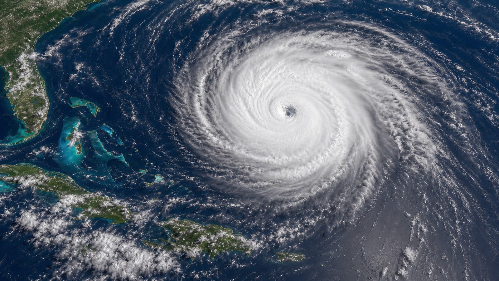
A hurricane forms when ordinary tropical thunderstorms become organized enough to feed on warm ocean water and lower pressure around a rotating center. The process is not instant. A disturbance first needs a pocket of unsettled weather, moist air, converging winds, and enough spin from Earth’s rotation. If thunderstorms persist over very warm water, condensation releases heat high in the storm, pressure falls near the surface, and more air rushes inward. That inflow brings additional moisture, which fuels more thunderstorms, which can lower pressure further. When wind shear stays weak enough to keep the tower of storms aligned, the circulation can tighten from a tropical disturbance into a depression, then a tropical storm, and eventually a hurricane. The most powerful hurricanes are not just storms with strong winds. They are organized systems that efficiently move heat from ocean to atmosphere while wrapping thunderstorms around a deep core.
A: Usually a tropical disturbance with persistent thunderstorms and growing surface circulation.
A: It supplies moisture and heat that fuel thunderstorms and lower pressure.
A: The Coriolis effect is too weak there to organize rotation efficiently.
A: It is changing wind speed or direction with height, which can tilt and weaken storms.
A: It is the ring of intense thunderstorms surrounding the eye in a strong hurricane.
A: Yes, if ocean and atmospheric conditions remain favorable.
A: It is a quick increase in sustained winds over a short period.
A: No, but land cuts off fuel and usually weakens the storm over time.
A: Rainfall depends on moisture, motion, terrain, and duration, not only wind speed.
A: Small changes in core structure, ocean heat, shear, and dry air can alter strength quickly.
The Seed Disturbance Comes First
Most hurricanes begin with a preexisting disturbance. That might be a tropical wave moving off Africa, a cluster of thunderstorms along a monsoon trough, a decaying front over warm water, or another area where air is already converging and rising. Warm water alone does not automatically create a hurricane. The atmosphere needs a starting pattern that allows thunderstorms to gather and persist.
A seed disturbance provides the first hint of organization. Thunderstorms flare, surface pressure may lower slightly, and winds begin to curve around the broader area. Many disturbances never become named storms because dry air, land interaction, cool water, or wind shear disrupts them. The ones that survive do so because thunderstorms keep rebuilding near the same general center.
Persistence matters. A single burst of thunderstorms can look impressive on satellite imagery and still fade overnight. Development becomes more likely when convection repeats, the low-level circulation becomes better defined, and the storm starts to create its own local environment.
Warm Ocean Water Supplies Energy
Hurricanes draw much of their energy from warm ocean water, especially when warmth extends below the surface. Evaporation transfers water vapor into the lower atmosphere. When that moist air rises and condenses inside thunderstorms, latent heat is released. That heat warms the storm core, lowers pressure, and helps winds strengthen around the center.
Sea-surface temperature is important, but ocean heat content can be just as important for powerful storms. If only a shallow layer is warm, a storm’s winds can churn cooler water to the surface and weaken its fuel supply. If deep warm water is present, the storm can keep feeding even as waves and mixing intensify. This is one reason some hurricanes strengthen rapidly over deep tropical waters or warm ocean eddies.
The ocean is not the only ingredient, though. A hot sea under hostile upper-level winds may produce nothing more than disorganized thunderstorms. A slightly less ideal ocean under excellent atmospheric conditions may support steady development. Hurricanes form when ocean and atmosphere cooperate.
Moist Air Keeps Thunderstorms Alive
Moisture helps thunderstorms remain strong near the developing center. Dry air can wrap into the circulation, weaken updrafts, and interrupt the heat-release process. When the mid-level atmosphere is moist, thunderstorms are more likely to persist and organize. This gives the low-pressure center a better chance to deepen.
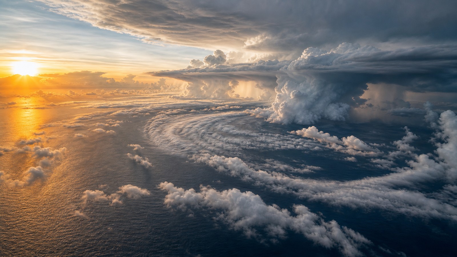
Thunderstorms are the engine cylinders of a tropical cyclone. They lift warm, moist air, release heat, and help build the warm core. If storms fire far from the center, the system may stay lopsided. If they repeatedly develop near the center, the circulation can consolidate. Over time, rainbands may organize and the central dense overcast can form over the core.
Moisture also affects rainfall risk. A hurricane is not only a wind machine; it is a vast moisture transport system. Slow-moving storms can wring out extraordinary rainfall even if their winds weaken. Formation physics and flood danger are connected through the same warm, moist air supply.
Spin and the Coriolis Effect Organize the Flow
A hurricane needs rotation. Near the equator, the Coriolis effect is too weak to help a circulation tighten efficiently, which is why tropical cyclones rarely form right on the equator. Farther away, Earth’s rotation helps turning winds organize around a low-pressure center. In the Northern Hemisphere, that circulation rotates counterclockwise; in the Southern Hemisphere, clockwise.
The initial spin may come from a tropical wave, monsoon circulation, or broader low-pressure area. As pressure falls and air flows inward, conservation of angular momentum can help winds increase, much like a skater spins faster when pulling arms inward. The tightening circulation focuses convergence and supports more rising motion near the core.
Still, spin alone is not enough. A rotating disturbance without deep thunderstorms remains weak. Thunderstorms without a closed circulation remain a rain cluster. Hurricane formation requires both: organized convection and a tightening low-level vortex working together.
Low Wind Shear Lets the Core Stack Vertically
Wind shear is the change in wind speed or direction with height. Strong shear can tilt a developing storm, push thunderstorms away from the low-level center, and expose the circulation to dry air. Low shear allows the storm’s low, middle, and upper parts to align. That vertical stacking makes the heat engine more efficient.
When the core is stacked, rising air near the center can ventilate outward aloft while more warm moist air flows in near the surface. This exhaust pattern helps the storm breathe. If upper-level outflow becomes well established, pressure can fall and winds can strengthen. If outflow is blocked or shear tears the convection away, development slows or stops.
This is why forecasters watch upper-level winds closely during hurricane season. A tropical wave over warm water may look promising, but if shear is strong, the system may struggle. A modest storm entering a low-shear pocket can organize much faster than expected.
From Tropical Storm to Hurricane
As a system strengthens, it moves through classification stages based on organization and sustained wind speed. A tropical depression has a closed low-level circulation but weaker winds. A tropical storm has stronger sustained winds and receives a name. A hurricane has sustained winds at hurricane force and a more organized warm-core structure.
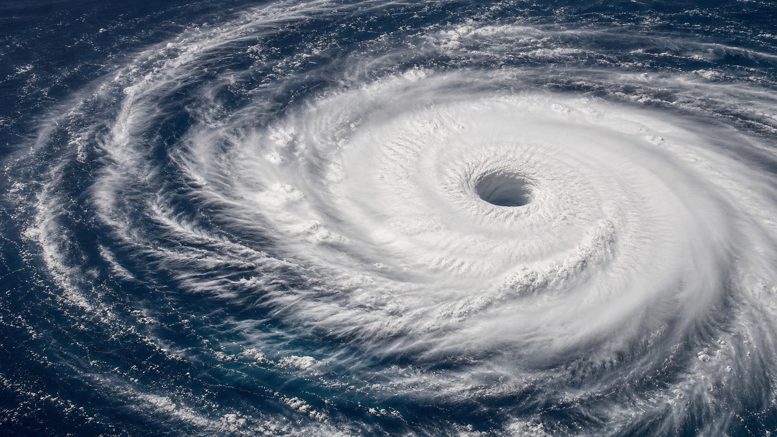
The transition is visible in structure. Rainbands wrap more clearly, pressure falls, winds increase, and the center becomes better defined. In stronger storms, an eye may appear as sinking air clears the center while the eyewall surrounds it with intense thunderstorms. The eyewall is where the storm’s strongest winds usually occur.
Not every hurricane forms a perfect eye, and not every eye means the same thing. Some storms are ragged, sheared, or still organizing. Others become symmetric and powerful. Structure matters because it tells forecasters whether the storm is becoming more efficient or starting to break down.
Rapid Intensification Is a Special Danger
Rapid intensification occurs when a tropical cyclone’s winds increase very quickly over a short period. It is especially dangerous because preparation time shrinks. The ingredients often include deep warm water, moist air, low wind shear, strong inner-core organization, and efficient outflow aloft. Even then, predicting exactly when rapid intensification will begin remains difficult.
The inner core is crucial. A storm can sit over warm water for days and strengthen slowly if its center is broad or disrupted. Once a tight eyewall forms and convection wraps around the center, pressure can fall faster. Eyewall replacement cycles can later cause intensity fluctuations, with one eyewall weakening while another forms outside it.
Rapid intensification is one reason coastal residents should not wait for the final category before preparing. A storm that looks manageable two days out can become much stronger before landfall if conditions align. The formation process may begin far offshore, but the consequences arrive at the coast.
What Weakens a Hurricane
Hurricanes weaken when the heat engine loses support. Land cuts off the ocean moisture supply and increases friction. Cooler water reduces evaporation. Strong shear tilts the storm. Dry air disrupts thunderstorms. Interaction with mountains can shred the circulation. An eyewall replacement cycle can temporarily lower peak winds while expanding the wind field.
Weakening does not mean harmless. A landfalling hurricane can continue producing flooding rain, tornadoes, surge, and damaging wind after its peak category drops. Sometimes the most dangerous water impacts occur as the storm is weakening or moving inland. The formation ingredients explain strength, but impacts depend on timing and location.
A hurricane grows powerful when many ingredients line up. It weakens when enough of them fail. Forecasting the difference is one of tropical meteorology’s hardest jobs because the ocean, atmosphere, and inner storm core all have to be watched together.
Ocean Heat Content Explains Some Sudden Strengthening
Sea-surface temperature is the number most people hear, but ocean heat content tells a deeper story. A hurricane’s winds churn the upper ocean. If the warm layer is shallow, that mixing can pull cooler water upward and reduce the storm’s fuel. If warmth extends deeper, the storm can keep drawing energy even while the ocean surface is disturbed.
Warm eddies and deep tropical water can therefore become intensification corridors. A storm moving over one of these areas may have access to a thicker reservoir of heat. Forecasters watch these features carefully, especially when a storm already has low shear, moist air, and a strengthening inner core. The ocean below the surface can decide whether the engine keeps accelerating.
This is also why two storms over similar surface temperatures may behave differently. One may weaken after stirring up cooler water, while another crosses deep warmth and strengthens. The map of ocean heat beneath the storm is part of the invisible fuel supply.
Eyewall Cycles Change Power and Size
Strong hurricanes often go through eyewall replacement cycles. A new ring of thunderstorms forms outside the original eyewall, gradually stealing inflow from the inner ring. During the transition, peak winds may dip, the eye may look ragged, and the wind field may expand. After the new eyewall takes over, the storm can sometimes intensify again.
These cycles complicate intensity forecasts. A storm may look less intense at its absolute peak wind while becoming larger and more dangerous over a broader area. A wider wind field can increase surge potential and spread damaging winds farther from the center. That tradeoff matters near landfall because people outside the tiny core may still face serious impacts.
Eyewall behavior is one reason category alone can mislead. A compact category 5 and a larger category 3 can create different kinds of danger. Formation and growth are not only about the highest wind number; they are also about how the storm reorganizes its core.
Landfall Changes the Engine Into an Impact Machine
As a hurricane approaches land, the formation story becomes an impact story. The storm may lose access to ocean fuel, but it can still push surge, wring out rain, produce tornadoes, and drive destructive wind inland. Friction disrupts the circulation, yet that same interaction can focus convergence and heavy rain bands in dangerous places.
Coast shape, continental shelf depth, river basins, soil saturation, and building exposure decide how the storm’s remaining energy is experienced. A storm that is weakening meteorologically can still be worsening for a specific community if surge is peaking, rain is training, or evacuation routes are being cut off.
Understanding how hurricanes form helps explain their strength, but preparation should follow impacts. Once a storm nears land, the question changes from how powerful the engine can become to how wind and water will reach people. That is the point where science has to become action.