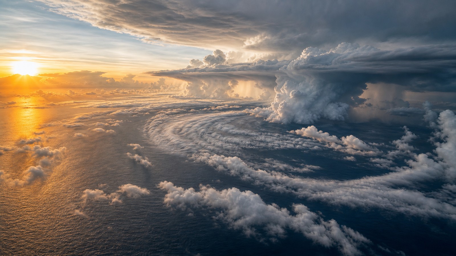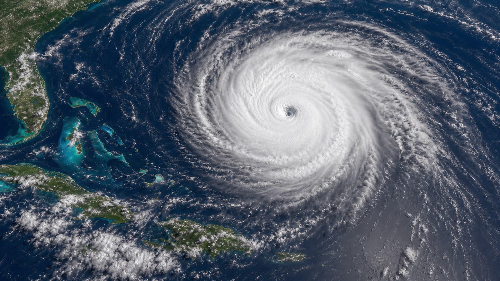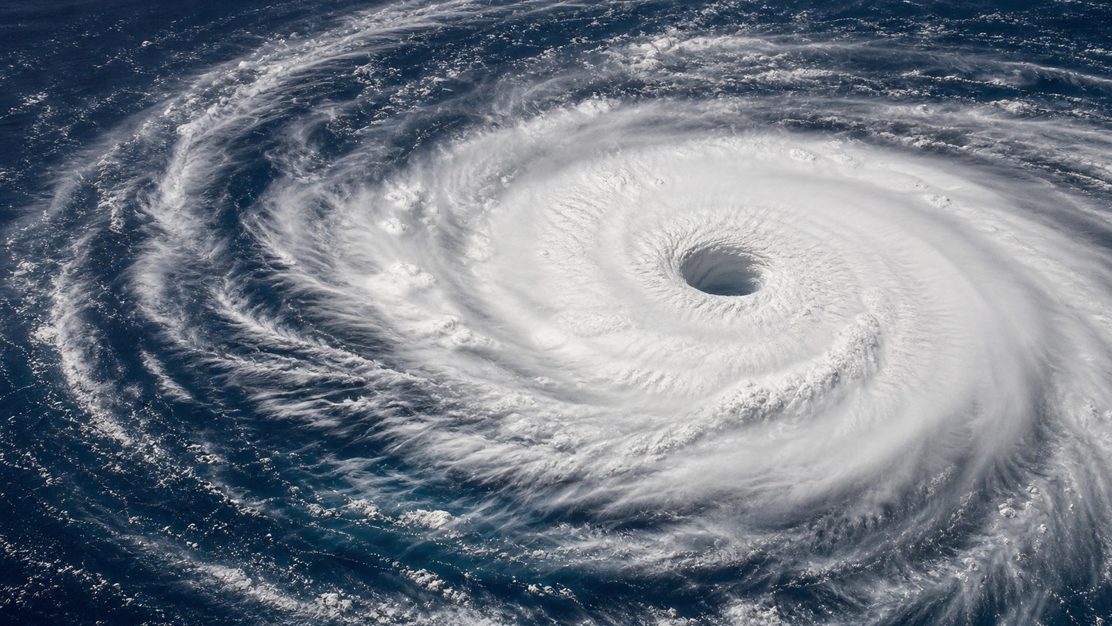
Powerful Can Mean Wind, Pressure, Size, or Impact
The most powerful hurricanes ever recorded are not always the same storms on every list because power can be measured in several ways. Meteorologists often compare minimum central pressure, maximum sustained wind, rapid intensification, storm size, and satellite-estimated intensity. Communities remember storms by deaths, surge, rainfall, damage, and how life changed afterward. Hurricane Patricia in the eastern Pacific is often cited for extraordinary sustained winds. Typhoon Tip in the western Pacific is famous for its extremely low pressure and enormous size. Hurricane Wilma set a remarkable Atlantic pressure record. Other storms, including Haiyan, Dorian, Maria, Katrina, Mitch, and the 1935 Labor Day hurricane, remain defining examples of intensity or impact in their regions. A list of the most powerful storms therefore needs humility. Records depend on basin practices, observing technology, aircraft reconnaissance, satellite estimates, and the difference between atmospheric strength and human disaster.
A: It depends on the metric; Patricia is often cited for wind, while Tip is famous for pressure.
A: Not always. Pressure and wind are related, but storm size and structure matter.
A: They may use different basins, wind averages, data sources, and ranking metrics.
A: No, but it was one of the most consequential U.S. hurricane disasters.
A: It combined extreme intensity with catastrophic impacts in the Philippines.
A: Yes, if surge, rainfall, size, or vulnerability create greater impacts.
A: No. Satellite estimates are powerful but still involve analysis and uncertainty.
A: They can shrink preparation time and make yesterday's risk impression dangerously outdated.
A: Larger storms can spread surge, wind, and waves across more coastline.
A: Extreme storms show limits, but local hazards should drive preparation.
Why Rankings Differ
A storm can rank near the top by wind but not by pressure, or by impact but not by meteorological intensity. Maximum sustained wind estimates describe the strongest winds near the core. Minimum central pressure describes how deep the storm’s low-pressure center became. Size describes how broadly the wind field spread. Rainfall and surge describe water hazards that may not follow the wind ranking neatly.
Historical records are also uneven. Modern satellites, aircraft reconnaissance, dropsondes, scatterometers, and advanced analysis provide details that older observers did not have. Some ocean basins have routine aircraft data; others rely more heavily on satellite techniques. A storm in the open ocean may be estimated differently from a storm sampled directly by aircraft.
For that reason, the phrase ever recorded should be read carefully. It means within the observing record, not necessarily within all storms that have ever occurred. The strongest storm before modern monitoring may have gone unmeasured over open water. The best lists explain the metric before naming the champion.
Patricia and the Wind-Speed Benchmark
Hurricane Patricia in 2015 became famous for extraordinary maximum sustained winds in the eastern Pacific. It intensified rapidly over very warm water and reached a level that drew global attention from meteorologists. Patricia’s peak intensity made it a benchmark for what a compact, highly efficient tropical cyclone can do when conditions align.
Patricia also shows why peak intensity is not the same as total disaster footprint. The storm weakened before and during land interaction, and its worst winds affected a comparatively limited area. That does not make the storm less meteorologically remarkable. It shows that the peak over water and the final impact at landfall can tell different stories.
When people ask for the most powerful hurricane, Patricia is often part of the answer if the metric is sustained wind. But if the metric is pressure, size, deaths, surge, or damage, other storms enter the discussion.
Tip and the Pressure Record
Typhoon Tip in 1979 is legendary for its extremely low central pressure and massive circulation. It occurred in the western North Pacific, a basin known for producing many intense tropical cyclones. Tip’s pressure record is often cited as one of the most extreme measurements in global tropical cyclone history.
Pressure is a powerful measure because it reflects the depth of the storm’s core. Lower pressure generally supports stronger winds, but the relationship is not identical for every storm. Storm size, latitude, surrounding pressure, and structure can affect the wind-pressure relationship. A very low-pressure storm may also have an enormous wind field, spreading hazards across a huge ocean area.
Tip helps explain why powerful does not always mean compact and explosive. Some extreme cyclones are vast, sprawling systems with pressure fields that reshape weather over enormous regions. Their danger can come from reach as much as peak wind.
Wilma and the Atlantic Record
Hurricane Wilma in 2005 holds a special place in Atlantic records because of its extremely low central pressure. It intensified explosively in the Caribbean during an already historic Atlantic hurricane season. Wilma’s tiny eye and rapid pressure fall became a dramatic example of how quickly the inner core of a tropical cyclone can change.
Wilma later affected land after structural changes, demonstrating again that peak intensity and landfall impact are not identical. A storm can reach its most extreme meteorological state over water, then weaken, expand, or reorganize before reaching people. The hazard at landfall depends on the storm’s state then, not only its record peak.
Still, Wilma remains essential in any discussion of powerful Atlantic hurricanes. It shows the Atlantic basin’s capacity for extraordinary pressure falls when warm water, low shear, moisture, and inner-core organization align.
Haiyan and the Human Meaning of Extreme Intensity
Typhoon Haiyan in 2013 is remembered not only for extreme intensity but for catastrophic impacts in the Philippines. It made landfall with devastating winds and storm surge, overwhelming communities with little margin for error. Haiyan is a reminder that a powerful storm becomes a disaster through exposure and vulnerability as well as meteorology.
Storm surge was central to the tragedy. Wind can dominate headlines because categories are wind-based, but water often creates the deadliest outcomes. Coastal shape, bathymetry, population density, warning response, shelter quality, and evacuation access all influence whether a powerful cyclone becomes catastrophic.
Haiyan’s legacy changed conversations about risk communication, storm surge language, and preparedness in vulnerable coastal regions. It belongs in a powerful-storm discussion because it connects extreme atmospheric strength with human consequences.
Atlantic Storms Remembered for Impact
Some Atlantic hurricanes are remembered less for record wind or pressure and more for what they did to communities. Katrina in 2005 produced catastrophic surge and levee failures along the Gulf Coast. Maria in 2017 devastated Puerto Rico and exposed the long tail of infrastructure collapse. Mitch in 1998 caused catastrophic rainfall and landslides in Central America.
The 1935 Labor Day hurricane remains one of the most intense U.S. landfalling hurricanes on record. Andrew in 1992 showed what extreme wind could do to buildings and codes in South Florida. Dorian in 2019 stalled over the Bahamas with catastrophic wind, surge, and prolonged exposure. Each storm teaches a different lesson about power.
These storms show why the most powerful list should not be only a trophy case of numbers. Meteorological extremes matter, but public memory often follows water, duration, infrastructure failure, and recovery. A storm’s power is felt through both instruments and lives.
Rapid Intensification Creates Some of the Scariest Records
Some storms become infamous because they strengthen so quickly. Rapid intensification can turn a manageable forecast into an emergency with little time left. Warm ocean eddies, deep moisture, low shear, and a consolidating inner core can help winds climb rapidly. Forecasting that jump remains one of the hardest parts of tropical meteorology.
Rapid intensification matters even when a storm does not set an all-time record. A hurricane that jumps categories near land can outpace evacuation assumptions, supply decisions, and public perception. People often anchor their risk to yesterday’s forecast, while the storm is already becoming something else.
The strongest storms in the record books often include periods of rapid deepening. That is part of what makes them scientifically fascinating and operationally dangerous. They reveal how sensitive a tropical cyclone can be to small changes in ocean heat and inner-core structure.
How to Read Extreme Storm Lists Safely
Extreme hurricane lists are compelling, but they should be read with context. Ask which basin is included, which wind averaging method is used, whether aircraft measured the storm, whether satellite estimates were reanalyzed, and whether the list ranks pressure, wind, size, damage, or deaths. Without that context, records can be compared too casually.
For preparedness, the most important storm is not the global record holder. It is the storm that can affect your coastline, island, watershed, or evacuation route. A non-record hurricane can still be life-threatening if it brings surge into your neighborhood or stalls rain over your river basin.
The most powerful hurricanes ever recorded show the atmosphere’s upper limits, but they also teach a practical lesson: category is only one clue. Water, size, speed, track, vulnerability, and warning response decide how the power is experienced on the ground.
Record Uncertainty Is Part of the Story
Older storms were observed with fewer tools. Ships, islands, coastal stations, and occasional aircraft could capture pieces of a storm, but many oceanic peaks were missed. Satellite monitoring changed the record dramatically because storms over remote water could be watched continuously. Later improvements in satellite analysis, aircraft sampling, and reanalysis made comparisons better but still not perfect.
This uncertainty does not make records meaningless. It means records should be treated as best estimates within the available evidence. A storm with a directly measured pressure may be more confidently ranked than one inferred from older satellite imagery. A remote storm before the satellite era may never have had its true peak captured.
Meteorologists keep refining historical records because the past improves the future. Understanding how extreme storms behaved helps test models, improve intensity forecasts, and reveal what environmental patterns support rare strength.
Size Can Be as Important as Peak Wind
Peak wind usually occurs in a small part of a hurricane, often near the eyewall. Size describes how far tropical-storm-force and hurricane-force winds extend from the center. A compact storm can produce astonishing peak winds over a narrow area. A very large storm can push water, waves, and wind across a much wider coastline even if its peak category is lower.
Size matters especially for storm surge. A broad wind field can pile water toward the coast for a long time and across a large area. It also affects preparation because more communities may experience hazardous conditions. A large hurricane can close ports, airports, bridges, and evacuation routes over a region that looks much larger than the eye on a satellite loop.
This is why some storms become historic without holding the absolute wind record. Their power is distributed. They stress infrastructure, coastlines, and emergency systems across distance and time. A list that ignores size misses one of the ways tropical cyclones become truly formidable.
What Extreme Storms Teach Forecasting
The strongest storms are natural stress tests for forecasting. They reveal where models handle ocean heat well and where they struggle. They show how inner-core changes can outrun expectations. They test whether warnings communicate water risk as clearly as wind risk. Each extreme storm becomes a case study long after the clouds disappear.
They also teach humility. A forecast can identify favorable conditions and still miss the exact timing of rapid intensification. A track forecast can be close while a surge forecast depends on small shifts near land. A storm can weaken before landfall and still deliver catastrophic rainfall. Extreme storms punish simple thinking.
The practical lesson is preparedness based on plausible impacts, not fascination with records. If a storm has a credible path toward your area, the question is not whether it will join an all-time list. The question is whether your home, family, route, and community are ready for the wind and water hazards it can still produce.
Powerful Storms Are Also Water Events
Wind makes storms visually dramatic, but water often defines the disaster. Surge can arrive before the eye. Rainfall can continue after landfall. Rivers can rise after skies brighten. Waves can damage coastlines far from the center. A storm’s power therefore includes how efficiently it moves ocean and atmosphere against land.
Katrina, Mitch, Harvey, Haiyan, and other high-impact storms show different versions of this water problem. Some drove surge into vulnerable coasts. Some stalled or moved slowly enough to produce extreme rainfall. Some combined wind, surge, and infrastructure failure in ways that stretched recovery for years.
This is why record wind lists should never replace local flood and surge forecasts. The strongest wind may stay offshore, while the deadliest water reaches neighborhoods. Powerful hurricanes are atmospheric engines, but disasters often arrive as water on land.