Three Names for One Powerful Kind of Storm
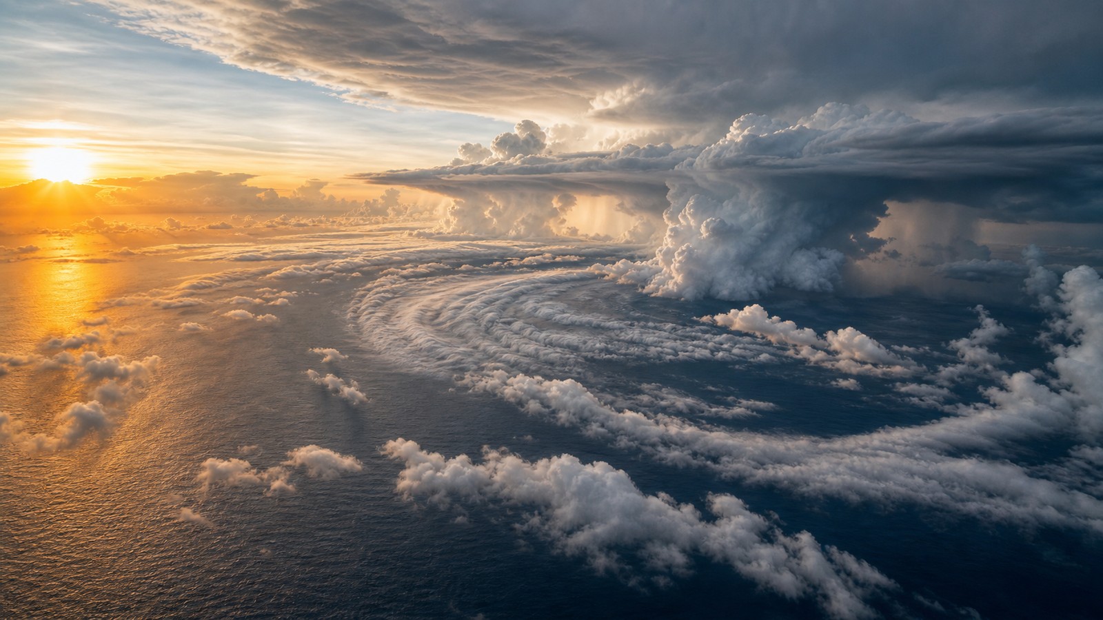
Hurricanes, cyclones, and typhoons are not three separate storm species. They are regional names for the same broad phenomenon: a mature tropical cyclone with organized thunderstorms, a closed low-pressure circulation, strong rotating winds, and energy drawn from warm ocean water. The word changes depending on where the storm forms. In the Atlantic and eastern or central North Pacific, people usually say hurricane. In the western North Pacific, they say typhoon. In the Indian Ocean and South Pacific, they often say cyclone or tropical cyclone. The different names can make global weather news sound more complicated than the atmosphere actually is. A typhoon striking the Philippines, a hurricane nearing Florida, and a cyclone threatening Madagascar are built from similar ingredients, but they occur in different ocean basins with different warning agencies, seasons, local vulnerabilities, and cultural histories.
A: They are the same broad type of tropical cyclone, named differently by basin.
A: The term is common in the Indian Ocean, near Australia, and across much of the South Pacific.
A: No. Rotation direction depends on hemisphere, not whether it is called a typhoon or hurricane.
A: No. Cyclone is a regional term and can include very powerful storms.
A: It is the umbrella term that avoids regional naming confusion.
A: Not perfectly. Agencies may use different labels and wind averaging periods.
A: It can be handled differently if it crosses basin responsibility areas.
A: The western North Pacific is typically one of the most active tropical cyclone regions.
A: Check local warnings for wind, surge, rainfall, and evacuation guidance.
A: Mostly geography and language; the storm engine is broadly the same.
The Basin Decides the Name
The simplest difference is geography. A tropical cyclone that reaches hurricane strength in the Atlantic is called a hurricane. A storm of the same type and strength in the western North Pacific is called a typhoon. In the Indian Ocean, near Australia, and across much of the South Pacific, the term cyclone or tropical cyclone is commonly used. The storm does not change physics when it crosses a naming boundary; the language changes because regional forecasting traditions change.
This naming system helps local agencies communicate clearly with the people they serve. Residents in Japan, Guam, and the Philippines understand typhoon terminology. Residents along the Gulf Coast understand hurricane terminology. Communities near the Bay of Bengal, the Coral Sea, and the southwest Indian Ocean understand cyclone terminology. The name is regional shorthand, not a measure of danger by itself.
Confusion often happens when global news compares storms from different basins. A headline may imply that a typhoon is inherently different from a hurricane, but the core structure is the same. The more important questions are intensity, size, forward speed, rainfall, storm surge, track, and local exposure.
What All Tropical Cyclones Share
All mature tropical cyclones need warm ocean water, moist air, organized thunderstorms, and enough atmospheric rotation to spin around a low-pressure center. Air converges near the surface, rises in thunderstorms, releases heat through condensation, and lowers pressure further. That feedback allows winds to strengthen as long as the storm remains over favorable water and avoids disruptive wind shear or dry air.
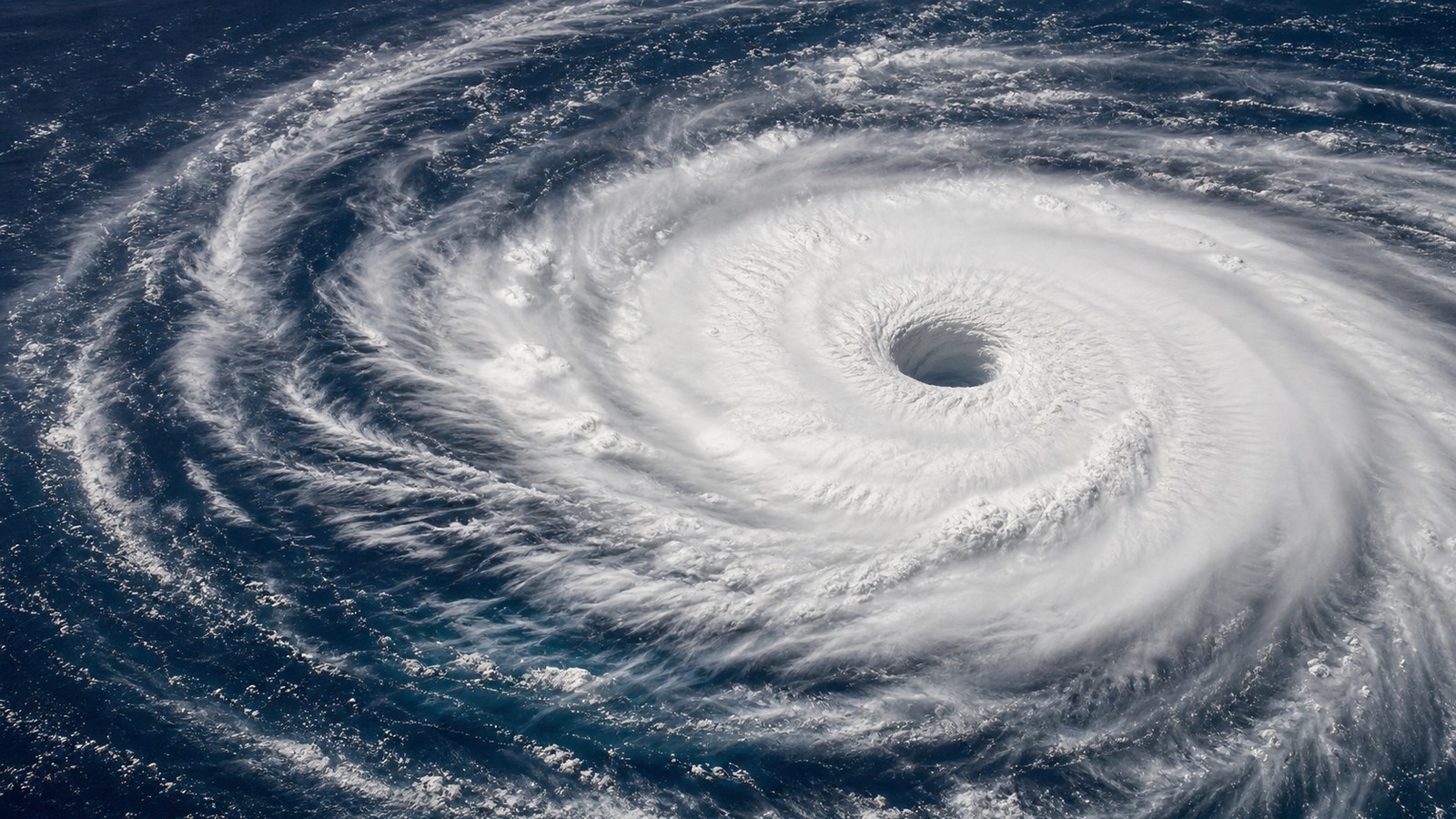
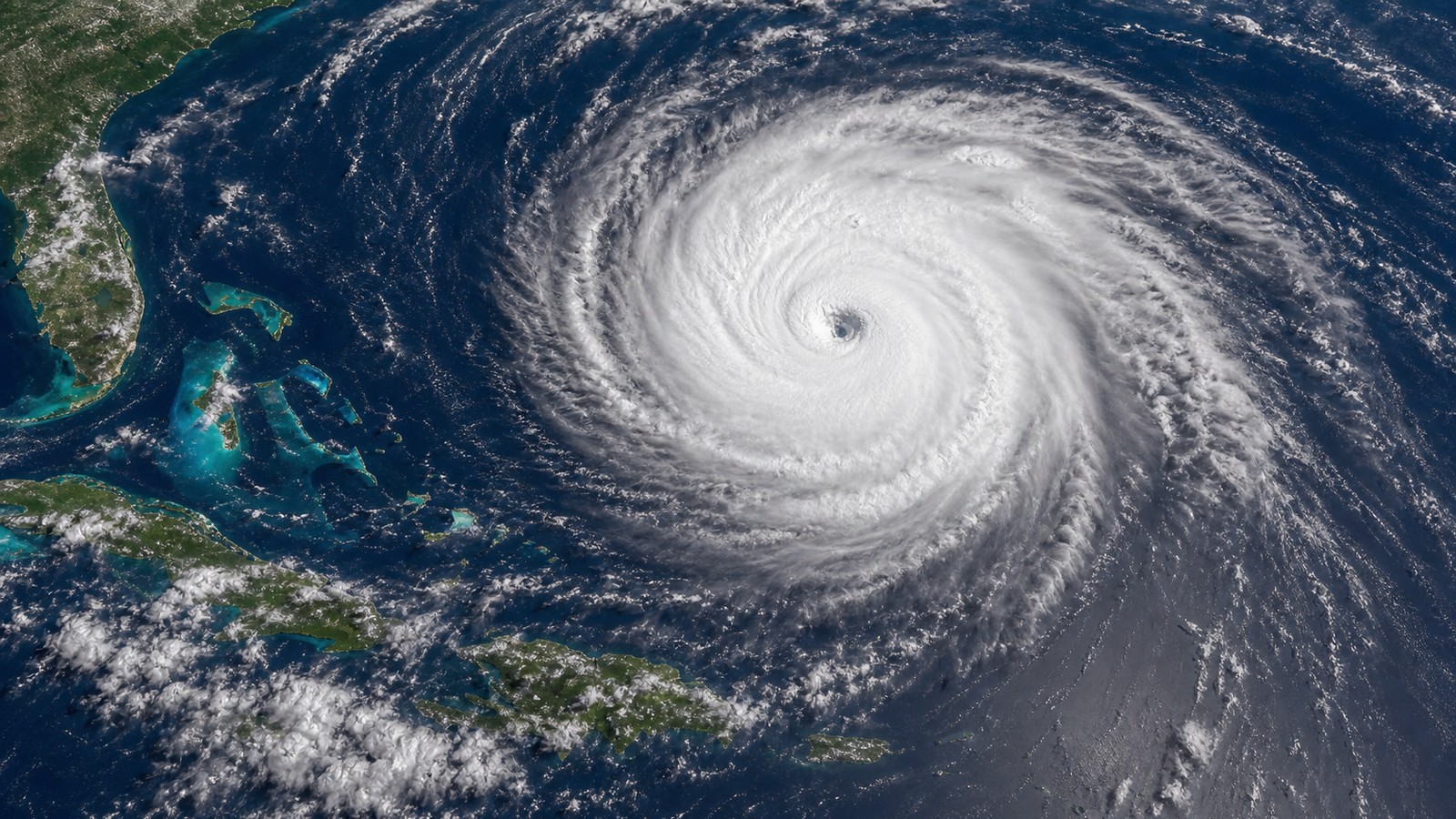
The strongest systems often develop a clear eye surrounded by an eyewall, where the most violent winds and heaviest rain concentrate. Spiral rainbands curve outward from the center and can bring squalls far from the eye. The storm’s damage does not come from wind alone. Surge, flooding rain, tornadoes, waves, and long power outages can make a weaker-looking category more dangerous than people expect.
Because the shared physics is so important, meteorologists often use the umbrella term tropical cyclone. It avoids regional naming confusion and focuses attention on the storm structure. A hurricane, typhoon, and cyclone can all be tropical cyclones; the basin tells you which everyday name people use.
Intensity Scales Are Not Identical Everywhere
Another source of confusion is intensity classification. The Atlantic uses familiar terms such as tropical depression, tropical storm, hurricane, and major hurricane, with the Saffir-Simpson Hurricane Wind Scale describing categories by sustained wind speed. Other basins use different labels and sometimes different averaging periods for wind. A storm called a super typhoon in one region may not map perfectly onto the category language used elsewhere.
Wind averaging matters. Some agencies use one-minute sustained winds, while others use ten-minute sustained winds. That technical difference can change how numbers compare even when the storm itself is the same. Casual comparisons of the world’s strongest storms must be careful because historical observing methods, aircraft data, satellite estimates, and regional practices have not always been identical.
For safety, the exact label should never be the only thing people watch. A lower-category storm can produce catastrophic flooding or surge. A compact intense storm may cause extreme wind damage near the core but less widespread impact. A large slower storm can spread water hazards across a huge region. The name tells you the basin; the impacts tell you the risk.
Seasons Differ by Ocean Basin
Hurricane, typhoon, and cyclone seasons do not line up neatly because ocean temperatures, monsoons, wind patterns, and regional climate cycles vary. The Atlantic season officially spans June through November, with peak activity often late summer into early fall. The western North Pacific can produce typhoons in more months of the year and is one of the most active tropical cyclone basins on Earth.
The north Indian Ocean has distinct pre-monsoon and post-monsoon periods, while the Southern Hemisphere basins generally focus activity during their warm season, roughly opposite the Northern Hemisphere calendar. Local preparedness therefore depends on basin, not just the generic idea of tropical weather. A traveler moving between hemispheres may encounter cyclone risk at a time that feels off-season at home.
Climate patterns can shift activity within and between basins. El Nino, La Nina, monsoon behavior, sea-surface temperatures, and wind shear all influence where storms form and how often they strengthen. The regional name stays the same, but the season’s personality changes from year to year.
Why the Same Storm Can Have Different Hazards
A hurricane approaching a shallow Gulf Coast shelf can push dangerous surge far inland along bays and estuaries. A typhoon striking steep island terrain can unleash landslides and extreme rainfall. A cyclone in the Bay of Bengal can threaten densely populated low-lying deltas. The same basic storm engine produces different disasters depending on coast shape, elevation, building quality, evacuation access, and rainfall patterns.
This is why translating global storm names into local action matters. Knowing that a typhoon is essentially a hurricane does not tell a coastal family whether they should evacuate, shelter, or prepare for freshwater flooding. Local warnings, surge maps, rainfall forecasts, and emergency instructions are the pieces that turn tropical cyclone science into safety decisions.
The strongest storms also leave different legacies in different places. Some are remembered for wind, some for surge, some for rainfall, and some for the failure of infrastructure under prolonged stress. The basin name is only the opening line of the story.
How to Read Global Storm News
When you see a hurricane, typhoon, or cyclone in the news, translate the article into a few core questions. Where is the storm? How strong are the sustained winds? How large is the wind field? How fast is it moving? What coastlines, islands, or inland watersheds are exposed? What hazards are emphasized by local forecasters? Those questions are more useful than arguing over the name.
If the storm affects you, use the official forecast agency for your region. Global summaries are helpful for awareness, but local agencies understand warning zones, surge basins, evacuation language, and emergency procedures. A storm’s category may travel across headlines, while the exact local threat may live in advisories and maps closer to home.
The real difference between hurricanes, cyclones, and typhoons is therefore linguistic and geographic. The real similarity is atmospheric: warm water feeding rotating thunderstorms around a low-pressure core. Once that is clear, global storm news becomes easier to understand and safer to act on.
Names Can Change When Storms Cross Basins
Occasionally, a tropical cyclone crosses from one basin into another or survives long enough to enter a region with different terminology. Forecast agencies have rules for naming, renaming, or continuing names in those situations. The public may hear a storm described differently as it moves, but the underlying circulation is still tracked continuously.
Basin boundaries matter for responsibility as well as vocabulary. Different regional centers issue forecasts for different parts of the ocean. When a storm moves across those boundaries, coordination helps keep the message consistent. Mariners, islands, and coastal communities need continuity even when the agency name or terminology changes.
For ordinary readers, the easiest habit is to focus on the latest official advisory for the storm’s current location. The label may shift, but the hazards remain the part that affects real decisions.
Hemisphere Changes Rotation, Not the Basic Name
Tropical cyclones rotate counterclockwise in the Northern Hemisphere and clockwise in the Southern Hemisphere because of the Coriolis effect. That rotation difference is often confused with the hurricane, typhoon, and cyclone naming difference. The two ideas are related to geography, but they are not the same rule.
A hurricane in the Atlantic and a typhoon near Japan both rotate counterclockwise because both are in the Northern Hemisphere. A cyclone near Australia rotates clockwise because it is in the Southern Hemisphere. The regional name tells you the basin. The rotation direction tells you the hemisphere.
This distinction helps when looking at satellite images. The spiral can reveal hemisphere, but it will not tell you whether local agencies call the system a hurricane or typhoon unless you know the ocean basin. The map context still matters.
Forecast Centers Give the Name Its Operational Meaning
Regional forecast centers do more than choose vocabulary. They issue advisories, watches, warnings, track forecasts, intensity forecasts, marine alerts, and impact information for their responsibility areas. The name people hear in public messaging is tied to that operational system. A community prepares for hurricanes, typhoons, or cyclones because that is the language used by its agencies, media, schools, and emergency plans.
This matters in multilingual and international regions. A storm may be discussed by global media, national agencies, military weather centers, and local emergency offices at the same time. Consistent local terminology reduces confusion when people need to understand evacuation zones, shelter timing, port closures, school decisions, and marine hazards.
The official forecast center also decides which products deserve attention. A global satellite image may show the whole swirl, but a local advisory explains whether your coast faces surge, wind, rain, or dangerous surf. The regional name is the doorway into that local warning system.
Storm Names Are Not the Same as Hazard Names
Another common mix-up is between the storm’s regional name and the hazards it produces. Hurricane, typhoon, and cyclone refer to the organized tropical system. Storm surge, flash flooding, destructive wind, rip currents, landslides, and tornadoes refer to impacts. A person can understand the storm name perfectly and still underestimate the hazard that matters most.
For example, a weakening tropical cyclone can still create catastrophic inland flooding. A storm below major-hurricane strength can push life-threatening surge into a shallow bay. A fast-moving typhoon can spread damaging winds well before the eye passes. The public safety message therefore has to move beyond the label and into impact language.
When comparing basins, this impact focus becomes even more important. The Bay of Bengal, the Caribbean, the Philippines, Japan, the Gulf Coast, and northern Australia each have different coastlines, population patterns, and emergency systems. One word cannot carry all of that risk. The name identifies the storm family; the hazard forecast identifies what people should do next as conditions approach their own community and coastline directly.