Minutes Matter More Than Perfect Certainty
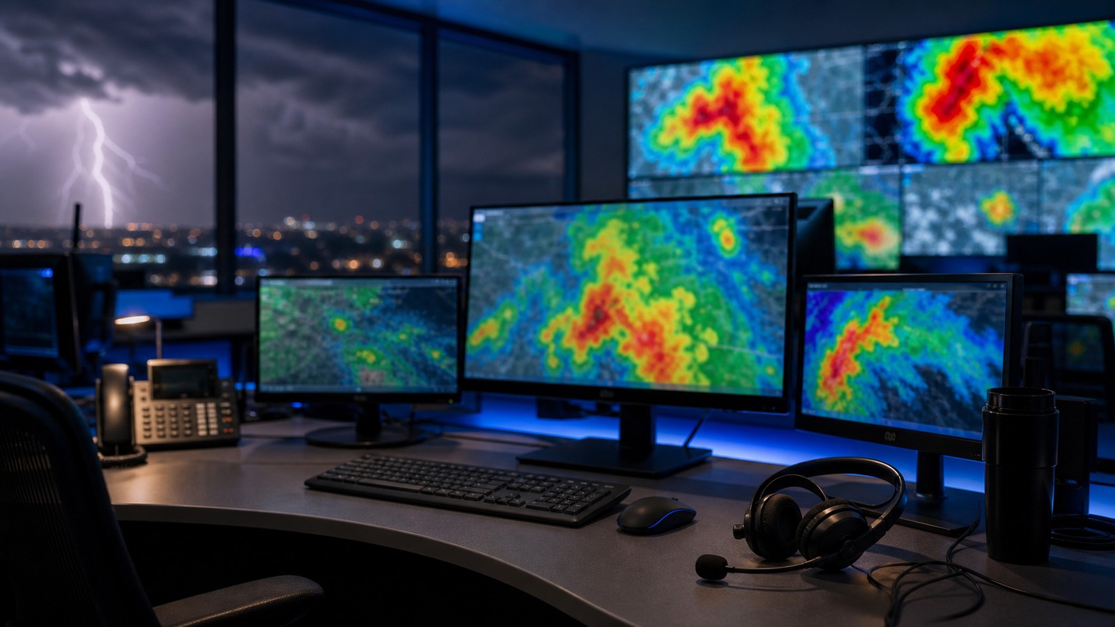
Live storm tracking is the art and science of making fast decisions with incomplete but rapidly improving evidence. Meteorologists do not wait for a storm to finish revealing itself before warning people. They watch radar trends, satellite growth, lightning bursts, surface boundaries, storm reports, and short-range model clues, then decide whether the threat is crossing an action threshold. The phrase predict severe weather in minutes does not mean guessing wildly from a single radar frame. It means reading the latest observations in sequence and asking what the storm is becoming right now. A rotating storm can tighten between scans. A line of thunderstorms can bow outward and accelerate damaging winds. A stalled rain band can turn a normal drainage area into a flash flood zone. The forecast window is short, but the consequences are immediate, so the best live tracking turns uncertainty into practical lead time.
A: It is very short-term forecasting focused on what weather will do in the next minutes to hours.
A: Storms change shape, strength, and motion, so warnings update with new evidence.
A: They can identify warning-level signals quickly, but exact tornado timing remains uncertain.
A: They show what radar-indicated hazards are actually doing at the ground.
A: No. Many tornadoes are hidden by rain, darkness, terrain, or buildings.
A: Fast observations, skilled interpretation, and clear communication all add minutes.
A: Outflow, dry air, cooler air, or disrupted inflow can reduce its strength.
A: No. They should be paired with official warnings and a shelter plan.
A: Water keeps moving through streets, creeks, and drainage systems after rain shifts.
A: Take the recommended protective action immediately for that hazard.
Nowcasting Is Different From a Daily Forecast
A daily forecast describes the environment hours or days ahead. Nowcasting describes what is happening in the next few minutes to a couple of hours. During severe weather, nowcasting becomes the main job because storms are already forming, moving, and changing. The forecast question shifts from whether storms are possible to which storm is dangerous, where it is going, and what hazard it may produce next.
Meteorologists start with the environment. Instability tells whether air can rise vigorously. Wind shear tells whether storms can organize and rotate. Moisture supplies fuel. Boundaries focus lift. Once storms exist, live tracking compares each storm against that background. A weak shower in a hostile environment may fade. A small storm entering stronger shear and richer moisture may become dangerous quickly.
This is why live storm tracking is not just radar watching. Radar shows the storm’s current structure, but the environment explains its potential. A forecaster who knows the atmosphere is primed will treat a developing signature differently than the same signature on a marginal day.
Trend Reading Beats Snapshot Reading
One radar image can be misleading. A sequence tells the story. Meteorologists watch whether reflectivity cores are strengthening, whether rotation is tightening, whether a bowing segment is accelerating, whether lightning is increasing, and whether rainfall is training over the same location. The trend gives direction to the evidence.
A storm that briefly flares may not require the same response as a storm that strengthens scan after scan. A weak velocity couplet may be less concerning if it is broad and fading, but more concerning if it becomes tighter and better aligned with the storm’s inflow region. A rainfall core may be manageable if it moves steadily, but dangerous if it keeps rebuilding over one watershed.
Live prediction in minutes depends on noticing these changes early. The warning decision often happens before the most obvious damage report arrives. The goal is to identify the storm’s trajectory of behavior, not wait for certainty after people are already in harm’s way.
Reports Anchor the Data to the Ground
Radar and satellite observe the storm remotely. Reports tell meteorologists what is reaching the ground. A measured wind gust, hail report, flooded road, observed wall cloud, or confirmed funnel changes confidence. Reports can validate a warning, reveal that a storm is underperforming, or show that a hazard is worse than radar alone suggested.
Reports also have limits. They may arrive late, cluster near populated areas, or miss rural damage. A lack of reports does not prove a storm is safe. During nighttime severe weather, rain-wrapped storms, or sparsely populated regions, radar evidence may carry more weight because few people can safely observe the hazard.
The best live tracking uses reports as anchors, not as the only trigger. If radar suggests a dangerous storm over open country, a warning may be needed before anyone can report damage. If reports confirm the signal, the warning message can become more specific and urgent.
Warning Decisions Use Thresholds
A warning is a public action message, not a casual forecast comment. Meteorologists issue warnings when evidence indicates that a hazard is occurring or likely soon enough to require protective action. Different hazards have different thresholds. Tornado warnings focus on rotation, debris, reports, and storm structure. Severe thunderstorm warnings focus on damaging wind or hail. Flash flood warnings focus on rainfall intensity, duration, terrain, and vulnerability.
Thresholds keep decisions consistent, but they do not remove judgment. A marginal radar signature near a crowded outdoor event may receive close attention because exposure is high. A strong signature in a rural area still matters because people may have less shelter access and longer communication chains. The science identifies the threat; the warning process turns it into a location, time, and action message.
False alarms and missed events are both serious. Too many warnings can dull response, while a missed warning can leave people exposed. Live tracking lives in that tension. The forecaster’s job is to act soon enough to protect people while keeping the message as accurate and focused as possible.
Minutes Are Gained in Small Ways
Lead time is rarely created by one dramatic discovery. It is built from small advantages. A forecaster notices rotation tightening one scan earlier. A lightning jump suggests a storm updraft is intensifying. A boundary collision points to where the next cell may form. A spotter report confirms hail size. A rainfall estimate crosses a flash flood threshold before water reaches the worst intersection.
Technology helps by updating data faster and highlighting signals. Human pattern recognition helps by deciding which signal deserves attention. Communication helps by converting the decision into a warning people can understand. If any link is slow, lead time shrinks. If the chain works, a few minutes can be enough for a family to shelter, a school to move students, or an event organizer to clear a field.
This is why meteorologists train for severe-weather operations. The workload is high, the data is noisy, and multiple storms may demand attention at once. Good live tracking requires calm prioritization: which storm is most dangerous, which population is next, and which message will prompt the right action?
What the Public Should Do With Live Tracking
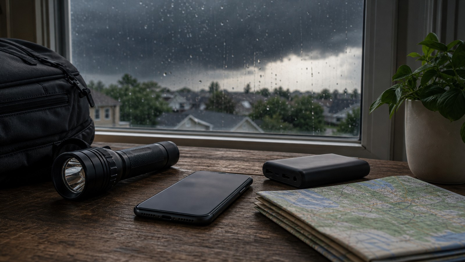
For the public, live tracking should support action, not endless monitoring. If a warning includes your location, act immediately. If a dangerous storm is approaching but no warning has arrived, increase readiness: move indoors, charge devices, identify shelter, and keep alerts audible. If radar shows a storm passing nearby, remember that lightning, wind, and flooding can extend beyond the brightest colors.
Do not wait for visual confirmation of a tornado, hail core, or flash flood. Many severe hazards are hidden by darkness, terrain, buildings, or rain. A radar loop can make danger feel like entertainment because it is colorful and moving, but the purpose of the information is protection.
The best public use of live storm tracking is simple: know where you are, know whether you are in the warning area, know where you will shelter, and know when to stop watching and move. Meteorologists can buy minutes. People have to spend them wisely.
Why Minute-by-Minute Forecasts Still Change
Short-term forecasts can change because storms are living systems. A storm may ingest cooler outflow and weaken. A new cell may form on a boundary and become dominant. A circulation may cycle, fade, and redevelop. A line may speed up as downdrafts organize. These changes are not failures of live tracking; they are the reason live tracking exists.
Meteorologists update warnings, statements, and forecasts as evidence changes. A warning may be extended, canceled, replaced, or narrowed. A storm track may shift as motion changes. A flash flood concern may continue after the heaviest rain ends because runoff is still moving through streams and streets. The message evolves with the hazard.
People sometimes expect a live map to behave like a train schedule. Storms do not cooperate that neatly. The strength of live tracking is not perfect prediction of every wobble. It is the ability to keep refreshing the best available picture while there is still time to act.
Latency Changes How Forecasters Read the Clock
Every live display is a little late. Radar has to scan, data has to process, and apps have to receive and draw the image. A forecaster using base data may see information faster than a casual user watching a smoothed phone animation, but even professional tools are not a view of the exact present. During fast-moving storms, that delay becomes part of the forecast.
Meteorologists compensate by thinking ahead of the image. If a storm is moving 50 miles per hour, a few minutes of latency can shift the leading edge by several miles. If rotation is tightening, the next scan may be more important than the last one. If a warning is issued, the public should assume the storm is closer than the oldest frame suggests.
This is one reason warning language often emphasizes immediate action. The map may feel like there is still time because the storm icon has not reached the dot. The atmosphere does not wait for the display to refresh. Live tracking buys time, but only if people understand that the clock is already running.
Good Messages Are Part of the Forecast
A technically correct warning can still fail if people do not understand it. Meteorologists and emergency communicators try to describe the hazard, the place, the timing, and the action in plain language. The best message does not simply say that a storm exists. It says what threat is expected, who is in the path, and what protective step should happen now.
Impact wording has become more important because the same warning category can contain different levels of danger. A severe thunderstorm with quarter-size hail is not the same public problem as a derecho-producing line with widespread destructive wind. A tornado warning with a confirmed debris signature deserves stronger urgency than a weak, brief rotation that may never touch down. Live tracking helps those messages become more specific.
For users, this means reading the warning text, not only the map color. The polygon shows geography. The words describe the hazard and urgency. A person who only watches the moving colors may miss the part that says shelter now, avoid travel, or move to higher ground.
The Work Continues After a Warning
Once a warning is issued, meteorologists keep tracking the storm. They watch whether the hazard is strengthening, whether the warning should be extended, whether a new community is entering the path, and whether the original area can be cleared. The warning is a milestone in the process, not the end of the forecast.
Follow-up statements can be just as important as the first alert. They may mention confirmed damage, observed hail size, water rescues, a changing storm track, or a cancellation for areas no longer threatened. In fast events, the follow-up helps people know whether to remain sheltered or prepare for a second round.
After the storm passes, live tracking also helps with recovery awareness. Flooded roads, additional storms upstream, power outages, and damaged trees can remain dangerous. The safest weather decision is not always made at the first warning tone. Sometimes it is made thirty minutes later, when people decide whether it is truly safe to leave shelter or start driving.