Live Weather Radar Maps Explained: How to Track Storms in Real Time
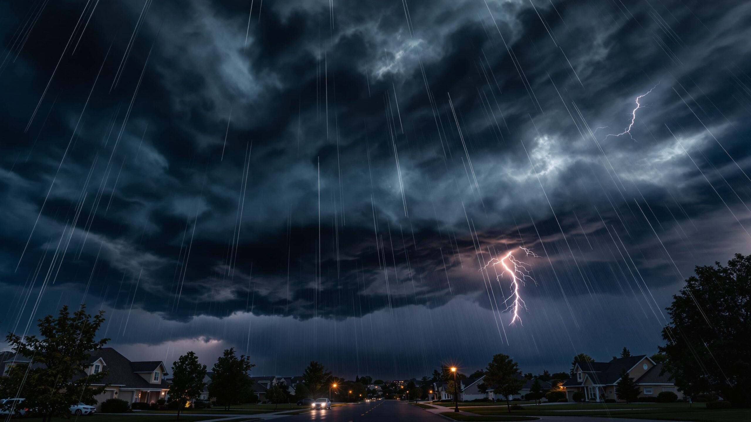
Weather has always shaped how we live, travel, and plan our days—but in today’s hyper-connected world, we no longer have to wait for forecasts to understand what’s happening in the sky. Live weather radar maps have transformed meteorology from a passive experience into an interactive, real-time system that anyone can access. Whether you’re tracking a fast-moving thunderstorm, monitoring a developing hurricane, or simply checking if rain is on the way, radar technology offers a powerful window into the atmosphere as events unfold. Understanding how live weather radar works and how to interpret what you see can elevate your awareness from casual observer to informed decision-maker. This guide breaks down the science, technology, and practical strategies behind radar maps, helping you track storms in real time with confidence and precision.
A: It shows precipitation intensity and movement, not clouds themselves.
A: Very accurate short-term, but may lag slightly due to scan timing.
A: It detects rotation signatures, not the tornado itself directly.
A: Radar scans take time, so images may be a few minutes old.
A: A sequence of images showing storm movement over time.
A: Different platforms use slightly different color scales.
A: Yes, especially low-level storms far from the radar site.
A: A short-term model projection, not real observed data.
A: Every few minutes for rapidly changing conditions.
A: No—always follow official warnings and alerts.
What Is Weather Radar and Why It Matters
Weather radar is a remote sensing system designed to detect precipitation, measure its intensity, and track its movement. Unlike traditional forecasts that rely on predictive models, radar provides near-instantaneous data about current atmospheric conditions. This is why meteorologists rely heavily on radar during severe weather events—it shows what is happening right now, not just what might happen next.
At its core, radar works by transmitting pulses of microwave energy into the atmosphere. When these pulses encounter precipitation—such as raindrops, snowflakes, or hail—they scatter energy back toward the radar system. By analyzing the returned signal, meteorologists can determine the location, intensity, and movement of precipitation.
This real-time capability makes radar indispensable for storm tracking. It enables early warnings for severe thunderstorms, flash floods, tornadoes, and winter weather events. For everyday users, it provides actionable insight: when to leave before a storm hits, whether to delay travel, or how long rainfall might last.
How Live Radar Maps Work Behind the Scenes
Modern weather radar systems, particularly Doppler radar, have significantly advanced our ability to interpret atmospheric behavior. Doppler radar doesn’t just detect precipitation—it measures motion. By analyzing changes in the frequency of returned signals, it can determine whether precipitation is moving toward or away from the radar site.
This motion detection is critical for identifying storm rotation, wind patterns, and potential tornado formation. In fact, many severe weather warnings are issued based on Doppler radar signatures before a tornado is even visible on the ground.
Radar systems scan the atmosphere in multiple angles, creating a three-dimensional picture of precipitation structures. These scans are updated frequently—often every few minutes—and compiled into the animated radar loops you see on weather apps and websites.
Live radar maps are essentially visualizations of this data. Each color, shape, and movement pattern represents specific atmospheric conditions. Understanding these elements is key to using radar effectively.
Decoding Radar Colors and Reflectivity
One of the most recognizable features of weather radar maps is their color-coded display. These colors represent reflectivity, which is a measure of how much radar energy is returned by precipitation particles. In simple terms, reflectivity correlates with precipitation intensity.
Light precipitation, such as drizzle or light snow, typically appears in shades of green. Moderate rain is often shown in yellow, while heavier rainfall transitions into orange and red. Intense storms, including those with hail or very heavy rain, may appear in deep red, purple, or even white, depending on the radar scale.
However, color interpretation isn’t always straightforward. For example, bright colors can sometimes indicate non-precipitation echoes, such as insects, dust, or even temperature inversions. Advanced radar systems and filtering techniques help minimize these anomalies, but understanding their possibility adds another layer of accuracy to your interpretation.
By learning to read reflectivity, you can quickly assess the severity of a storm and anticipate its impact. A large area of consistent red and orange suggests widespread heavy rainfall, while isolated bright spots may indicate localized intense cells.
Understanding Radar Loops and Storm Movement
Static radar images provide a snapshot of current conditions, but animated radar loops reveal something far more valuable: motion. By watching how precipitation patterns evolve over time, you can determine the direction and speed of a storm.
Radar loops typically display the last 30 to 60 minutes of data, cycling through images in quick succession. This animation allows you to track storm progression, identify developing cells, and anticipate future movement.
For example, if a storm is moving northeast at a steady pace, you can estimate when it will reach your location. If new cells are forming rapidly along a boundary, it may indicate intensifying conditions. Conversely, weakening or dissipating patterns suggest improving weather.
Interpreting motion also involves understanding storm structure. Linear bands often indicate cold fronts, while circular or rotating patterns may signal severe thunderstorms. Learning these visual cues enhances your ability to make real-time decisions.
The Role of Doppler Velocity and Rotation Signatures
Beyond basic reflectivity, advanced radar products provide deeper insights into storm dynamics. Doppler velocity maps show wind motion relative to the radar, using color gradients to indicate direction and speed.
Typically, one color (such as green) represents motion toward the radar, while another (such as red) indicates motion away. When these opposing colors appear close together, it suggests rotation—a key indicator of potential tornado development.
Meteorologists look for specific rotation signatures, such as hook echoes or mesocyclones, to identify severe threats. While these features require some training to interpret, even a basic understanding can help you recognize when a storm may be intensifying.
Velocity data also reveals wind shear, gust fronts, and outflow boundaries, all of which play critical roles in storm behavior. By combining reflectivity and velocity information, you gain a more complete picture of atmospheric conditions.
Types of Radar Maps You’ll Encounter
Not all radar maps are created equal. Depending on the platform or app you’re using, you may encounter several different radar products, each offering unique insights.
Base reflectivity is the most common and shows precipitation intensity. Composite reflectivity combines data from multiple angles to provide a broader view of storm structure. Velocity maps focus on wind motion, while dual-polarization radar adds information about particle shape and size, helping distinguish between rain, snow, hail, and even debris.
Some platforms also offer precipitation type maps, which use temperature data alongside radar to indicate whether precipitation is falling as rain, snow, sleet, or freezing rain. This is particularly useful during winter weather events.
Understanding which map you’re viewing—and what it represents—ensures you’re interpreting the data correctly.
Real-Time Storm Tracking Strategies
Tracking storms effectively requires more than just glancing at a radar map. It involves analyzing patterns, understanding context, and combining multiple data sources.
Start by identifying your location relative to the radar image. Then observe the direction and speed of nearby precipitation. Use radar loops to confirm movement trends and watch for changes in intensity or structure.
Pay attention to storm boundaries, such as cold fronts or outflow lines, which often appear as linear features. These boundaries can trigger new storm development, even if current conditions seem calm.
It’s also important to consider timing. Radar data is near real-time but not instantaneous. There is usually a slight delay between when data is collected and when it appears on your screen. During fast-moving storms, even a few minutes can make a difference.
By combining these strategies, you can anticipate weather changes with greater accuracy and respond accordingly.
Limitations of Weather Radar You Should Know
While radar is a powerful tool, it’s not without limitations. Understanding these constraints helps you avoid misinterpretation and overconfidence.
Radar beams travel in straight lines and gradually rise with distance from the radar site due to Earth’s curvature. This means that at greater distances, the radar may overshoot lower-level precipitation, potentially missing important details.
Obstructions such as mountains or buildings can also block radar signals, creating gaps in coverage. Additionally, radar may struggle to detect very light precipitation or differentiate between certain types of particles.
Another limitation is the inability to measure surface conditions directly. Radar shows what’s happening in the atmosphere, but it doesn’t always reflect what’s reaching the ground. For example, precipitation detected aloft may evaporate before reaching the surface, a phenomenon known as virga.
Recognizing these limitations ensures you use radar as part of a broader weather awareness strategy rather than relying on it exclusively.
Integrating Radar with Forecast Models
While radar provides real-time data, forecasts rely on numerical weather prediction models that simulate atmospheric conditions. Combining these two sources offers the most comprehensive understanding of weather.
Forecast models help predict future conditions, while radar confirms current trends. If a model predicts a storm later in the day and radar shows early development along a boundary, it increases confidence in that forecast.
Many modern weather platforms integrate radar with forecast data, allowing users to see both current conditions and projected movement. This hybrid approach enhances decision-making and provides a more complete picture of evolving weather systems.
Using Radar Apps and Tools Effectively
Today’s weather apps have made radar more accessible than ever, but not all tools are equally effective. Choosing the right platform—and knowing how to use it—can significantly improve your experience.
Look for apps that offer high-resolution radar, frequent updates, and multiple data layers. Features such as storm tracking, alerts, and customizable overlays add valuable functionality.
Zooming in and out helps you understand both local conditions and broader weather patterns. Setting your location ensures you receive relevant alerts and accurate positioning.
Some advanced apps allow you to switch between radar products, such as reflectivity and velocity, providing deeper insights into storm dynamics. Taking advantage of these features can elevate your understanding beyond basic observation.
Severe Weather Applications: Staying Safe in Real Time
One of the most critical uses of live radar is during severe weather events. Thunderstorms, tornadoes, hurricanes, and flash floods all evolve rapidly, and real-time tracking can make a significant difference in safety.
Radar allows you to identify approaching storms, monitor their intensity, and anticipate potential hazards. For example, a rapidly intensifying cell with strong reflectivity and rotation signatures may indicate a severe thunderstorm capable of producing damaging winds or tornadoes.
During hurricane events, radar helps track rain bands, eye movement, and storm structure. In winter, it reveals snowfall intensity and transitions between precipitation types.
By staying informed and understanding what radar is showing, you can make timely decisions that protect yourself and others.
The Future of Weather Radar Technology
Weather radar continues to evolve, driven by advancements in technology and data science. Dual-polarization radar has already enhanced our ability to distinguish precipitation types, while phased-array radar promises faster scan times and improved resolution.
Artificial intelligence and machine learning are also playing a growing role, helping analyze radar data more efficiently and identify patterns that may not be immediately visible to human observers.
As these technologies develop, live radar maps will become even more accurate, detailed, and user-friendly. This progress will further empower individuals to track weather in real time with unprecedented clarity.
Mastering the Art of Real-Time Weather Awareness
Live weather radar maps are more than just colorful visuals—they are powerful tools that bring the dynamics of the atmosphere to your fingertips. By understanding how radar works, learning to interpret its data, and recognizing its limitations, you can transform the way you interact with weather.
Whether you’re planning your day, preparing for severe conditions, or simply satisfying your curiosity about the sky, radar offers a level of insight that was once reserved for professionals. With practice and attention to detail, you can track storms in real time with confidence and precision. In a world where weather can change in an instant, knowledge is not just power it’s preparedness.