A Blizzard Is Defined by Wind and Visibility
A blizzard is not simply a heavy snowstorm. It is a winter storm condition defined by strong winds, falling or blowing snow, and severely reduced visibility lasting long enough to create dangerous travel and exposure. In National Weather Service usage, blizzard conditions generally involve sustained winds or frequent gusts of at least 35 miles per hour, visibility reduced to a quarter mile or less by snow or blowing snow, and those conditions persisting for at least three hours. Snowfall may be heavy, but heavy new snow is not required if existing snow is lifted by strong wind. That is why a ground blizzard can occur after a storm has ended, when loose snow is blown across roads and open land. The defining danger is disorientation, whiteout visibility, drifting, wind chill, and the inability to travel or be rescued safely.
A: No. Blowing existing snow can create blizzard conditions.
A: Sustained winds or frequent gusts around 35 mph or higher are commonly used.
A: Whiteouts make travel, rescue, and orientation dangerous.
A: It is blowing snow from the surface with little or no new snowfall.
A: Yes, lake-effect snow and wind can create localized blizzard conditions.
A: No. A blizzard warning specifically emphasizes wind-driven low visibility.
A: Few obstacles slow wind, so snow drifts and visibility drops quickly.
A: Not if wind and visibility meet dangerous blizzard conditions.
A: Avoid travel until winds ease and roads are cleared.
A: After wind drops enough for plows, utilities, and emergency crews to work safely.
The Ingredients Start With Cold Air and Moisture
A blizzard needs snow or loose snow available to be blown. For falling snow, the atmosphere must be cold enough through a deep layer for snowflakes to reach the ground. Moisture supplies the precipitation, often from a storm system drawing air from an ocean, lake, Gulf source, or moist overrunning pattern.
Cold air alone does not make a blizzard. A calm snow can pile up quietly with poor roads but no blizzard conditions. Moisture alone does not make one either. The atmosphere must also create enough wind to reduce visibility and move snow horizontally.
This is why blizzards often occur near strong low-pressure systems, intense fronts, or tight pressure gradients. The storm’s circulation provides lift for snow and wind for blowing.
Strong Pressure Differences Create the Wind
Wind forms because air moves from higher pressure toward lower pressure, and the stronger the pressure difference over distance, the stronger the wind can become. In a major winter storm, a deep low-pressure center beside strong high pressure can create a tight pressure gradient. That gradient drives widespread strong winds. Those winds pick up snowflakes as they fall and can also lift loose snow already on the ground. Open plains, coastal areas, and treeless landscapes are especially vulnerable because there are fewer obstacles to slow the wind. Once snow is airborne, visibility can collapse quickly.
Wind is the reason blizzard impacts can extend beyond the heaviest snowfall area. A place may receive modest new snow but still experience dangerous ground blizzard conditions if wind is strong and snow is available to blow.
Visibility Is the Core Hazard
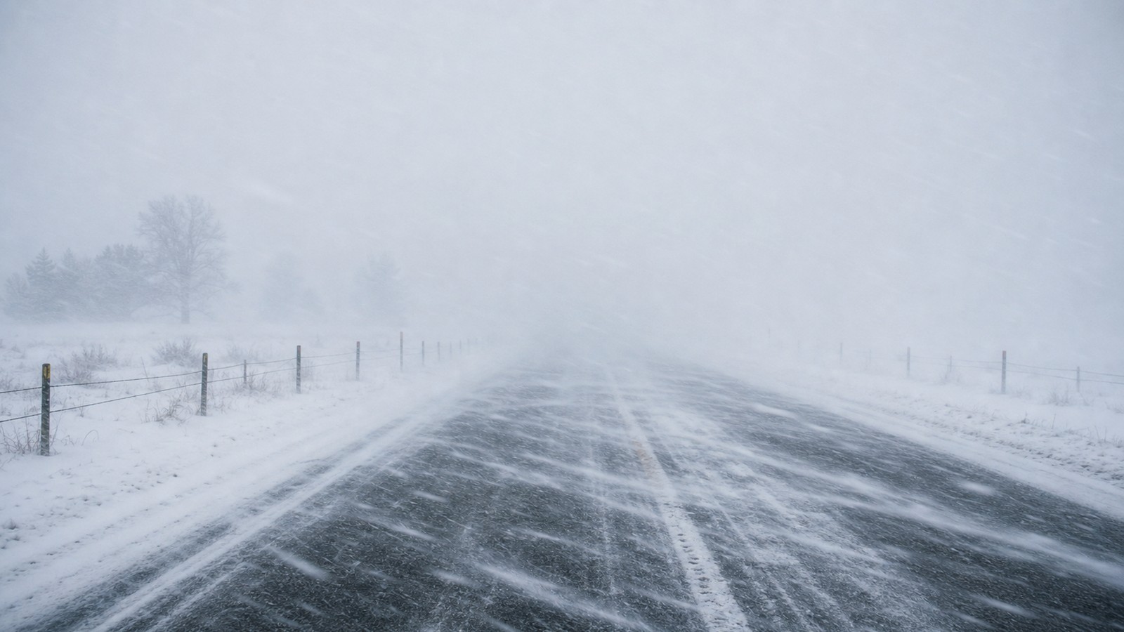
Blizzard visibility can fall to near zero. In a whiteout, the horizon disappears, road edges vanish, and depth perception collapses. Drivers may not see stopped vehicles, snowdrifts, curves, or ditches until it is too late. People on foot can become disoriented near buildings, barns, or parked cars.
Low visibility also slows emergency response. Plows, ambulances, police, and utility crews may be unable to operate safely. A road that is technically passable can become dangerous because no one can see or maintain position. Drifts can form behind vehicles and trap them.
This makes blizzards different from ordinary snow accumulation. The amount on the ground matters, but the ability to see and move safely is often the immediate threat.
Ground Blizzards Can Form After Snow Ends
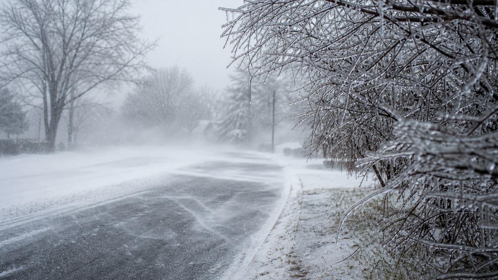
A ground blizzard occurs when strong winds lift snow from the surface and reduce visibility even though little or no new snow is falling. This is common in open country after fresh powdery snow. The sky may look brighter above, but the air near the ground becomes a moving wall of snow. Ground blizzards can surprise people because radar may show little precipitation. The hazard is created by wind interacting with existing snowpack. Roads can drift shut repeatedly after plows pass, and visibility can change dramatically over short distances.
The snow’s texture matters. Light dry snow blows easily. Wet heavy snow is harder to loft but can still create drifts. After thaw-freeze cycles, crusted snow may resist blowing until broken or mixed with new snow.
Storm Track Shapes Blizzard Location
The location of a blizzard depends on the storm track, temperature profile, moisture, and wind field. The heaviest snow often falls northwest or west of a strong low in many mid-latitude storms, but exact patterns vary by region. Coastal storms can create blizzard conditions along shorelines and inland corridors when cold air and strong winds overlap.
Lake-effect snow can also produce blizzard-like or blizzard conditions when intense snow bands combine with strong wind. In those cases, a narrow region downwind of a lake may experience extreme snowfall and visibility while nearby areas see much less.
Forecasting blizzards requires matching precipitation type with wind and duration. A storm may produce heavy snow without blizzard winds, or strong wind with rain, or blowing snow after the main precipitation shield moves away. The overlap is what matters.
Wind Chill Adds Exposure Danger
Blizzards are dangerous not only because of snow but because of cold wind. Wind removes heat from exposed skin and can drive dangerous wind chills. If someone becomes stranded, disoriented, or forced to walk for help, hypothermia and frostbite risk rise quickly. Vehicles can become traps if roads close and exhaust pipes become blocked by drifting snow. People sheltering in cars must conserve fuel, clear exhaust areas, and stay visible if it is safe to do so. The best choice is usually to avoid travel before blizzard conditions begin.
Exposure danger is why blizzard warnings are serious even for people used to winter. Familiar roads and short distances become different when visibility disappears and wind chill becomes dangerous.
Blizzards Can Paralyze Infrastructure
Strong wind and drifting snow can close highways, airports, rail lines, and rural roads. Power lines may fail when wind combines with heavy snow or ice. Livestock can be endangered when drifting blocks access to feed or shelter. Rural communities may be isolated until winds ease and plows can keep roads open.
Urban areas face different problems: transit delays, emergency access, blocked sidewalks, and stranded commuters. Even if snow totals are not record-breaking, the combination of wind and visibility can shut down movement. The timing of a blizzard during rush hour or overnight can worsen impacts.
Infrastructure impacts often last after the warning ends. Drifts remain, abandoned vehicles block plows, and crews need time to restore access. The end of falling snow is not the same as immediate recovery.
How to Prepare Before Conditions Collapse
Blizzard preparation starts with avoiding unnecessary travel. If warnings are issued, adjust plans before roads become impassable. Keep vehicles fueled, phones charged, and emergency supplies available, but do not treat supplies as permission to drive into a whiteout. At home, prepare for power outages and limited access. Have food, medication, batteries, heat safety plans, and a way to receive updates. Check that vents and exhaust outlets remain clear of drifting snow. Bring pets and livestock protection into the plan early.
During a blizzard, stay indoors if possible. If stranded, remain with the vehicle unless safe shelter is clearly nearby. Visibility and wind chill can make walking far more dangerous than it appears from inside a car.
Why Blizzard Forecasts Focus on Conditions, Not Snow Totals Alone
A forecast of twelve inches of snow does not automatically mean blizzard, and a blizzard can occur with less new snow. The forecast has to answer whether wind, visibility, snow availability, and duration will meet dangerous thresholds. That is why blizzard warnings may focus on whiteout conditions rather than only accumulation.
This distinction helps people make better decisions. A heavy calm snow may allow slow local travel after plowing. A lighter snow with 45 mph gusts can make open roads impossible. Snow totals tell you how much falls; blizzard conditions tell you whether you can see, move, and survive exposure.
A blizzard forms when winter weather becomes a visibility and wind emergency. Understanding that definition makes the warning more meaningful and the safest response clearer.
Why Blizzard Boundaries Can Be Sharp
Blizzard conditions often have surprisingly sharp edges. One town may sit in heavy snow and roaring wind while another nearby location receives lighter snow, mixed precipitation, or wind without enough snow to reduce visibility for long. The difference can come from a small shift in storm track, lake-effect band placement, coastal front position, or the temperature line between rain and snow. Forecasters therefore watch not only the center of the storm but the exact zone where strong wind overlaps with available snow. If the strongest wind arrives after the snow becomes wet or crusted, blowing snow may be limited. If fresh dry snow falls as the pressure gradient tightens, visibility can collapse quickly. Timing can matter as much as total accumulation.
These tight gradients explain why a blizzard warning can feel dramatic for one county and nearly invisible just outside it. The warning is drawn around expected conditions, not around whether a winter storm looks impressive on a regional map.
How Blizzard Risk Changes by Setting
Open rural highways are among the most dangerous blizzard settings because wind can sweep unobstructed across fields, erase lane markings, and create drifts faster than plows can clear them. A driver may leave a protected town street and enter a whiteout within minutes. Once vehicles stop, they become obstacles for everyone behind them.
Cities have different vulnerabilities. Tall buildings can channel wind, transit systems can stall, sidewalks can become blocked, and emergency vehicles can be delayed. People who rely on public transportation or hourly work may have fewer choices about when to travel, which makes clear early communication especially important.
Blizzard safety advice is strongest when it fits the setting. A ranch, a coastal city, a lake-effect town, and a mountain pass all face the same basic hazard of wind and visibility, but the practical weak points are not identical.
Lake-Effect and Coastal Blizzards Have Different Personalities
Lake-effect blizzards can be narrow, intense, and stubborn. Cold air crossing open water picks up moisture and heat, then releases snow in bands that may sit over the same towns for hours. A few miles can separate manageable weather from whiteout roads and rapid accumulation. Coastal blizzards usually work on a broader scale. A strengthening low-pressure system can pull Atlantic moisture inland while cold air holds near the surface. The storm may bring heavy snow, strong wind, coastal flooding, and power outages at the same time, especially when wet snow sticks to trees and lines.
Both types meet the same practical test when wind and visibility become dangerous, but they feel different on the ground. One may punish a narrow corridor with relentless bands; the other may disrupt an entire region with a large shield of snow and wind.
Why Recovery Can Take Longer Than the Storm
Blizzard recovery is slow because the storm rearranges snow after it falls. A road that was plowed once can fill again with drifting, and a driveway that looks passable can end in a hard wind-packed ridge. Crews may need repeated passes before routes stay open.
Power restoration, livestock checks, medical transport, and supply deliveries can lag behind the official end of the warning. In rural areas, the last miles may be the hardest because local roads are narrow, exposed, and repeatedly buried by wind. In cities, abandoned cars and blocked intersections can delay cleanup.
That lingering disruption is part of the hazard. A blizzard is not just a storm to wait out; it is a period when movement, heat, communication, and access all need backup plans.