Thunderstorm Power Has More Than One Record Book
The most powerful thunderstorms ever recorded cannot be ranked by one number because thunderstorms create different kinds of extremes. One storm may produce giant hail. Another may unleash destructive straight-line winds across hundreds of miles. A slow-moving storm can drop historic rainfall, while a supercell may generate violent tornadoes and a towering updraft that reaches the lower stratosphere. Lightning frequency, cloud-top height, wind gusts, hail size, rainfall rate, and damage footprint all describe storm power from different angles. This makes thunderstorm records both fascinating and tricky. A storm that looks less dramatic on satellite can be catastrophic at the ground, while a visually stunning supercell may spend most of its life over open country. The better question is not which thunderstorm wins overall, but which ingredients and structures allow ordinary convection to become one of the atmosphere’s most intense machines.
A: Its updraft strength, organization, hazards, duration, and impact all matter.
A: Often for individual storms, especially when rotation and shear are strong.
A: Yes, especially in derechos and intense bow echoes.
A: It requires strong updrafts and repeated growth cycles before falling.
A: Yes. Extreme rainfall can be the storm's main expression of power.
A: Not by itself, but it can signal vigorous storm processes.
A: Storm peaks often occur where instruments or observers are absent.
A: It is a dome where a strong updraft punches above the anvil level.
A: No. They are widespread damaging wind events from organized thunderstorms.
A: Act on the hazard named in the warning before conditions arrive.
Why Thunderstorm Records Are Hard to Compare
Thunderstorms are smaller and shorter-lived than hurricanes, so their peak extremes are easier to miss. A hailstone may fall in an empty field. A microburst may strike between official observing stations. A lightning burst may be captured by a detection network but not tied to dramatic damage. The observing system shapes the record. Different hazards also peak in different parts of a storm. The strongest hail may form in the updraft region. The most damaging wind may come from a collapsing downdraft or bow echo. The heaviest rain may occur in a slow-moving training band. The most intense lightning may occur during rapid updraft growth. A single ranking cannot fairly combine all of these.
That is why meteorologists usually discuss thunderstorm extremes by category. Giant hail records, measured wind gusts, derechos, rainfall records, tornado outbreaks, and lightning density each reveal a different type of power. Together they show how much energy a storm can focus into a small area and short time.
Supercells Are the Classic Extreme Storms
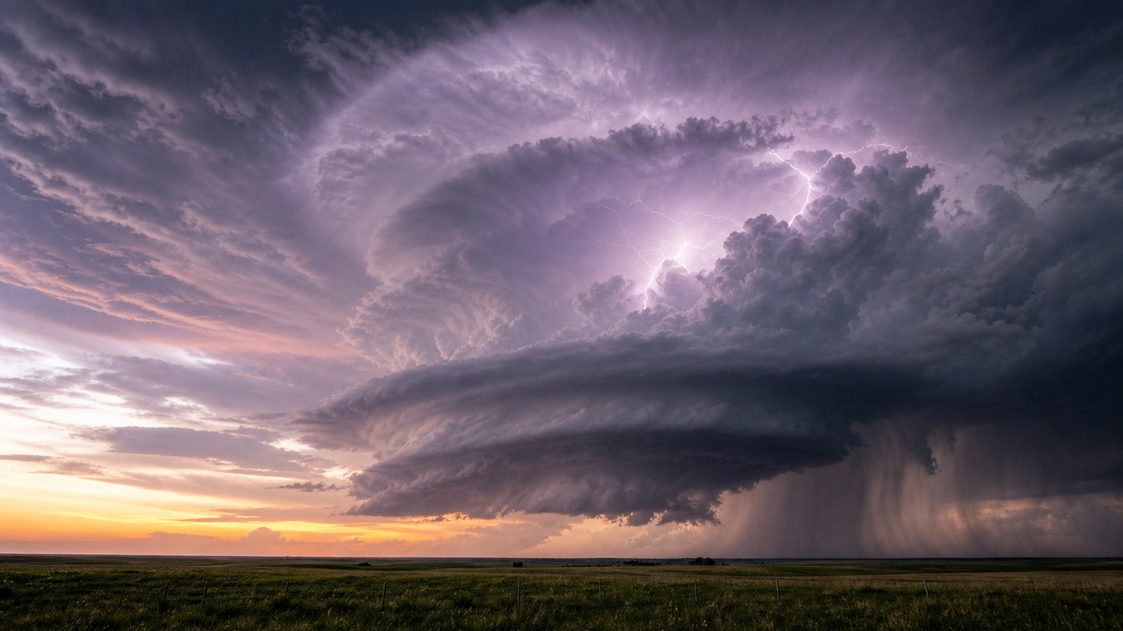
Supercells are among the most powerful individual thunderstorms because their rotating updrafts can persist for hours. That persistence lets hail grow, tornado circulations cycle, and intense rain and lightning continue while the storm travels long distances. A supercell can be visually sculpted and scientifically organized, but it is also a multi-hazard engine.
The strongest supercells often form where instability, deep-layer wind shear, moisture, and lift overlap. Their updrafts can be strong enough to suspend hailstones through repeated growth cycles. Their mesocyclones can support significant tornado potential. Their anvils can spread far downwind, and their overshooting tops can signal powerful vertical motion.
Not every supercell becomes historic. Many remain over rural land, weaken before producing major damage, or produce one hazard more than another. But when a supercell aligns with a vulnerable path, the storm can enter the record books through hail, tornadoes, wind, or all three.
Giant Hail Shows Updraft Strength
Large hail is one of the clearest signs of extreme thunderstorm updrafts. Hailstones grow as ice particles cycle through regions of supercooled water inside the storm. The stronger the updraft, the longer a stone can remain suspended and collect layers of ice before falling. Record hail requires both strong lift and the right microphysical environment. Hail records are difficult because stones can break, melt, or go unmeasured. The largest recovered hailstones are famous because someone found them, preserved them, and documented their size. Many remote storms likely produce impressive hail that never becomes an official record.
From a safety perspective, giant hail is not a curiosity. It can shatter windshields, injure people and livestock, destroy roofs, and damage crops. A storm capable of giant hail should be treated as dangerous even if it never produces a tornado.
Derechos Reveal the Power of Organized Wind
A derecho is a long-lived, widespread damaging wind event produced by organized thunderstorms. Instead of a single compact storm, a derecho often involves a fast-moving line or bowing complex that sustains severe winds across a long path. The power is in the scale and persistence of the wind damage.
Derechos can topple trees, damage buildings, shut down power grids, and travel across multiple states. Their wind can arrive suddenly, sometimes with a shelf cloud or darkening sky that gives only limited warning. Because the damage path is broad, recovery can resemble a regional disaster rather than a local thunderstorm cleanup.
These events show that tornadoes are not the only thunderstorm wind threat. Straight-line winds can cover a much larger area and affect far more people. A powerful thunderstorm complex can be historic without a single violent tornado.
Rainfall Extremes Come From Repetition and Slow Motion
Some of the most powerful thunderstorms are remembered for water rather than wind. When storms move slowly or repeatedly form over the same area, rainfall totals can become extreme. Tropical moisture, stalled boundaries, terrain, and training cells can turn thunderstorms into flood producers. Short-duration rainfall records are especially dangerous in cities, steep terrain, burn scars, and small watersheds. The storm may not look like a classic severe supercell, yet it can overwhelm drainage faster than people can react. Rainfall intensity matters, but rainfall placement matters just as much.
A powerful rain-producing thunderstorm teaches a different lesson from a hailstorm or derecho. The threat is accumulation, runoff, and timing. Water that falls in one hour can become a life-threatening flood minutes later downstream.
Lightning Outbreaks Show Electrical Intensity
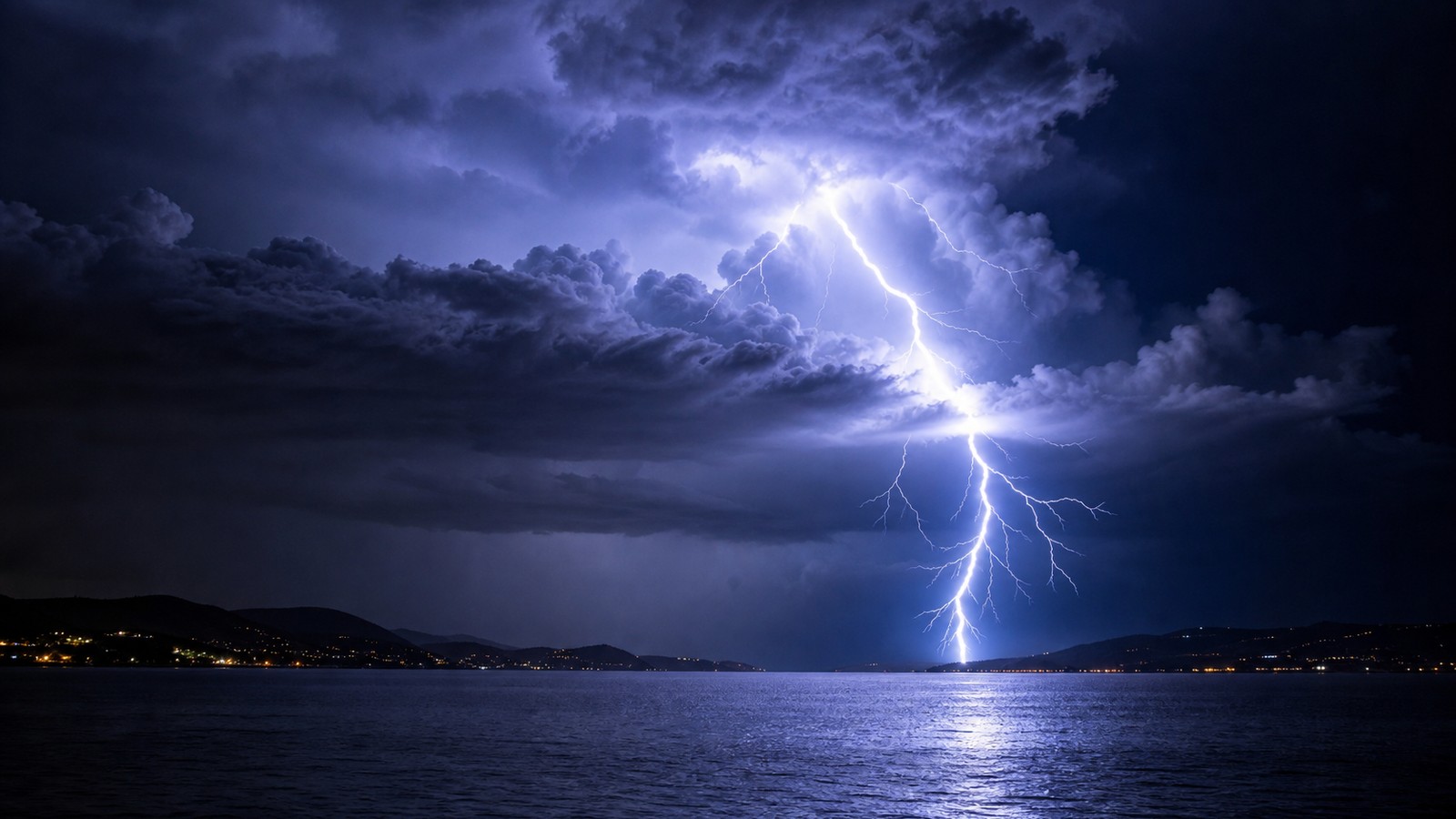
Lightning frequency can surge when updrafts intensify and ice collisions increase inside a storm. Some thunderstorms produce extraordinary lightning rates, illuminating the cloud almost continuously. Lightning networks help document these bursts, but the visual experience can still feel astonishing from the ground.
High lightning activity does not always mean the storm has the strongest wind or hail, but it often indicates vigorous cloud processes. Lightning jumps can sometimes accompany strengthening updrafts. Forecasters may use lightning trends as one clue among many when monitoring severe storms.
Every thunderstorm contains lightning by definition, so electrical power is not reserved for record events. The most active storms are scientifically impressive, but even an ordinary storm can produce a deadly strike.
Storm Height and Overshooting Tops Signal Vertical Power
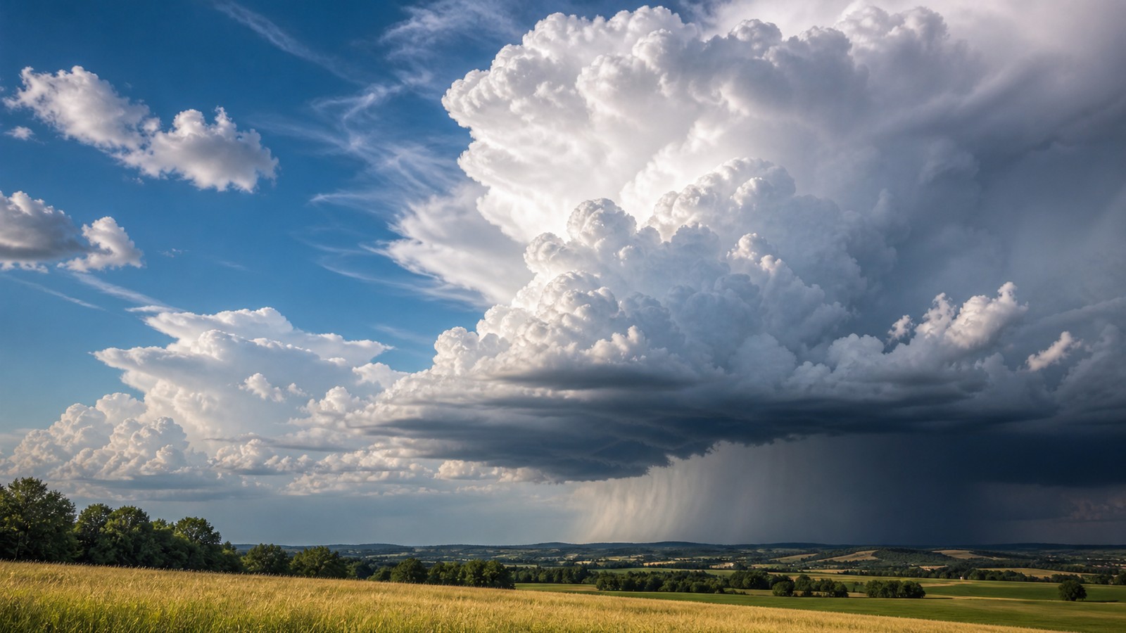
The tallest thunderstorms can reach the tropopause and punch overshooting tops into the lower stratosphere. These domes show where an updraft has enough momentum to rise above the storm’s equilibrium level. Satellite meteorologists watch overshooting tops because they can indicate intense convection. Very tall storms are common in tropical regions and severe-weather outbreaks where instability is large. Height alone does not guarantee surface damage, but it signals that the storm is moving air, water, and ice through a huge vertical depth. That depth supports lightning, hail, heavy rain, and sometimes severe wind.
A towering cloud is therefore more than a dramatic skyline feature. It is the visible shape of energy being converted into vertical motion. The strongest storms use that motion efficiently.
What Powerful Thunderstorms Teach
Extreme thunderstorms reveal the importance of organization. Heat and humidity may start the process, but wind shear, boundaries, cold pools, and storm interactions decide whether storms become isolated supercells, damaging lines, flood clusters, or ordinary rain. The atmosphere’s details matter.
They also show why severe thunderstorm warnings should be taken seriously. A warning for destructive wind or very large hail may not sound as frightening as a tornado warning, but the danger can still be immediate. People in vehicles, mobile homes, open fields, and large-span buildings may be especially vulnerable.
The most powerful thunderstorms ever recorded are not just record trivia. They are reminders that short-lived weather can concentrate enormous energy. Respecting the warning, understanding the hazard, and moving early are what turn that knowledge into safety.
Measured Records Depend on Instruments
Some thunderstorm records are official because a calibrated instrument was in the right place at the right time. A wind gust measured at an airport or mesonet station carries a different kind of confidence than a damage estimate made afterward. A rain gauge under a stalled storm can document an extraordinary total that radar alone might smooth out or underestimate. Other records depend on recovery and documentation. A giant hailstone has to be found, preserved, measured, and connected to the storm that produced it. A remote storm may produce larger hail or stronger wind without anyone there to record it. This makes the record book partly a history of observation, not only a history of atmosphere.
Modern radar, satellite, lightning networks, and dense surface stations are improving the picture. Even so, thunderstorm extremes remain spotty because the most violent part of a storm can be only a few miles wide. The atmosphere can still hide its peak.
Damage Does Not Always Match the Peak
A thunderstorm’s most extreme wind, hail, or rainfall may occur over open land, while a slightly weaker part of the storm strikes a town. The damage record then reflects the exposed area more than the absolute atmospheric peak. This is why a storm can be meteorologically extreme but not historically famous.
The reverse can happen too. A storm that is not record-breaking by wind or hail can become a major disaster if it hits a vulnerable city, power grid, campground, or transportation corridor. A derecho crossing populated areas may be remembered more than a stronger isolated storm over empty plains.
Power is therefore both physical and situational. Meteorology describes what the storm produced; disaster history describes what the storm encountered.
Future Extremes May Be Documented Differently
Future thunderstorm records may look different because observation is changing. More private weather stations, mobile radar, high-resolution satellites, social media reports, and lightning sensors are capturing events that once would have gone undocumented. This can make extremes appear more common simply because more are seen. Climate change may also influence ingredients such as moisture, instability, rainfall intensity, and storm environments, though the details vary by region and hazard. Heavy rainfall extremes are among the clearer concerns. Hail, tornadoes, and organized wind events involve more complex changes because wind shear and storm mode matter too.
The safest conclusion is practical: record storms are rare, but the ingredients for damaging thunderstorms do not need to break records to matter. Communities should prepare for credible extremes, not only the last event they remember.
Why Local Context Changes the Story
A storm that produces extraordinary hail over cropland may be known mainly to meteorologists and insurers. The same hail falling across a city can become a widely remembered disaster because roofs, vehicles, hospitals, airports, and schools are all in the path. Exposure turns a meteorological event into a social event.
Local geography also matters. Mountains can focus lightning, valleys can trap floodwater, coastal boundaries can feed storms, and plains can allow long-lived wind systems to accelerate without much friction. The record itself may be a number, but the story around that number belongs to the place where the storm unfolded.
That is why the most useful way to read thunderstorm records is not as a ranking contest. They are case studies in how atmosphere, landscape, buildings, warning systems, and human timing collide in a short window.