Flooding Begins When Water Outruns the Landscape
Floods happen when water arrives, accumulates, or moves faster than the land and built environment can safely absorb, drain, store, or carry it away. That water may come from intense rainfall, overflowing rivers, storm surge, snowmelt, dam or levee failure, blocked drainage, saturated soil, or a combination of several factors. Flooding is becoming more common or more damaging in many places because heavy rainfall events are intensifying, more people and property are located in flood-prone areas, natural floodplains have been paved or constrained, and aging drainage systems are being asked to handle storms they were not designed for. Climate change does not create every flood, and local development choices still matter enormously. But a warmer atmosphere can hold more water vapor, which increases the potential for heavier downpours. When stronger rain falls on more vulnerable landscapes, flood risk rises.
A: Water arriving faster than the landscape or drainage system can handle.
A: Pavement, roofs, and drains move runoff quickly into low spots.
A: No, but it can increase heavy-rain potential in many regions.
A: Yes. Drainage failures, small streams, and extreme rain can flood unexpected areas.
A: It raises the starting point for coastal flooding and storm surge.
A: It happens when multiple drivers, such as surge and rainfall, overlap.
A: Water can hide depth, current, and washed-out pavement.
A: They can store and slow water, reducing some flood peaks.
A: Yes, especially during rapid melt or rain-on-snow events.
A: Drainage, floodplain planning, warnings, green infrastructure, and resilient building.
Heavy Rain Is the Most Familiar Trigger
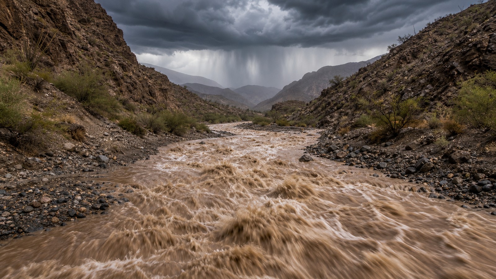
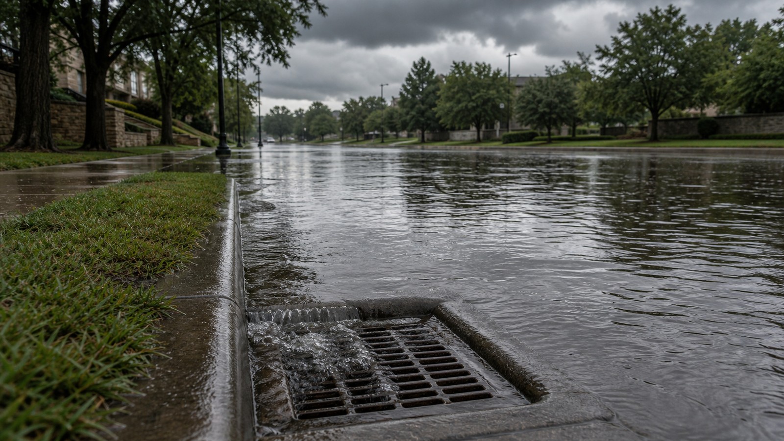
The simplest flood pathway is rain falling faster than the ground or drainage system can handle. If rainfall intensity exceeds infiltration and drainage capacity, water begins to pond, run across streets, fill low spots, and enter streams. Urban areas are especially vulnerable because roofs, roads, parking lots, and compacted soils reduce absorption. Rain duration matters as much as intensity. A short cloudburst can overwhelm storm drains, while a multi-day rain can saturate soil and swell rivers. Once soil is saturated, even moderate rain may run off quickly. The same storm can therefore produce different flooding depending on what happened in the days and weeks before it.
Local drainage design also shapes results. A neighborhood with undersized culverts, blocked inlets, or low road crossings can flood before a nearby area with better drainage. Flooding is atmospheric and infrastructural at the same time.
Rivers Flood When Water Accumulates Upstream
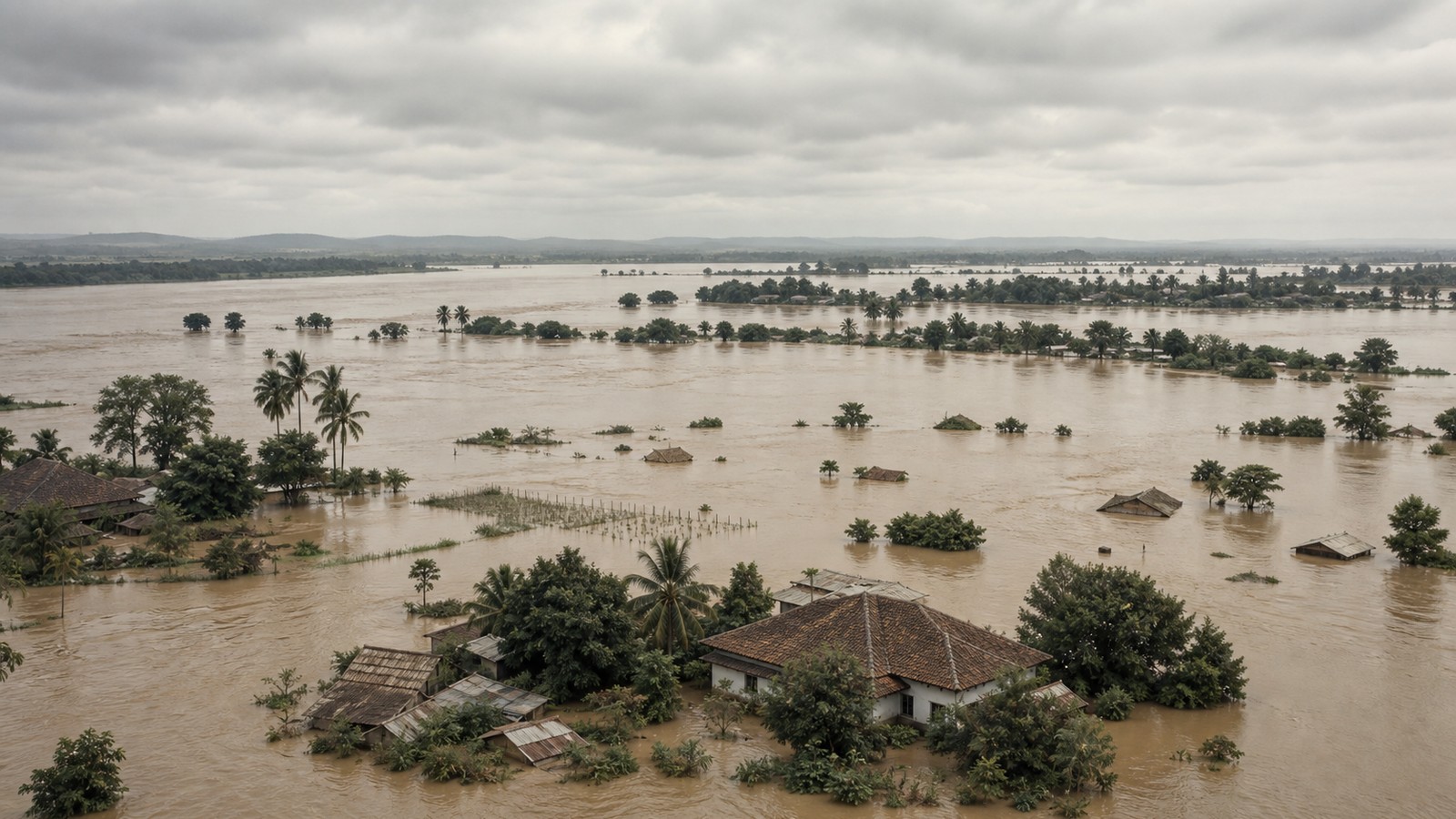
River flooding often develops as rainfall, snowmelt, or both collect across a watershed. Water from many tributaries moves downstream, raising the river over hours or days. Unlike a quick street flood, river flooding can persist and affect communities far from where the heaviest rain fell.
Floodplains are natural parts of river systems. They store overflow when rivers exceed their banks. Problems grow when homes, roads, farms, and businesses occupy those low areas without enough protection or room for water. Levees and floodwalls can reduce some risk, but they can also create a false sense of complete safety.
The timing of tributary peaks matters. If several streams crest at once, the main river can rise quickly. If the peaks spread out, the flood may be lower. Forecasting river floods requires both rainfall information and watershed behavior.
Coastal Flooding Has Different Drivers
Coastal flooding can come from storm surge, high tides, wave setup, sea-level rise, heavy rain, or blocked drainage at the coast. A hurricane or strong coastal storm can push seawater inland, while heavy rain tries to drain out. When ocean water is high, drainage can slow or reverse, worsening flooding inland. Sea-level rise raises the baseline for coastal floods. A tide or storm that once stayed below a seawall may now overtop it. Nuisance flooding can become more frequent even without a major storm. During severe events, the higher starting point allows water to reach farther.
Coastal flood risk is therefore not only a storm question. It is also an elevation, tide, drainage, and infrastructure question. Communities need to think about both rare disasters and more frequent smaller floods.
Land Use Can Turn Rain Into Runoff
Forests, wetlands, grasslands, and healthy soils slow water down. They intercept rain, absorb some of it, and release runoff more gradually. Development often replaces those surfaces with pavement and rooftops. Water that once soaked in now runs quickly into drains, ditches, and streams.
Channelized streams and buried waterways can move water away from one place but increase speed downstream. Wetland loss removes natural storage. Building in floodplains places more people in the path of water that will eventually return. These choices can make floods more damaging even if rainfall stays the same.
Green infrastructure, restored floodplains, larger culverts, permeable surfaces, and better stormwater planning can reduce risk. Flood prevention is not only about bigger walls; it is about giving water safer places to go.
Climate Change Loads the Rainfall Dice
A warmer atmosphere can hold more water vapor, and that can increase the potential for heavier precipitation. This does not mean every rainstorm becomes extreme or that climate change is the only cause of a flood. It means the background conditions increasingly favor heavier downpours in many regions. Heavier rainfall raises the odds that drainage systems will be overwhelmed and that rivers will rise faster. It can also make old flood maps less reliable if they are based on past rainfall statistics that no longer represent current conditions. Infrastructure built for yesterday’s storms may be undersized for tomorrow’s.
Regional patterns still vary. Some areas face heavier rain, some face rain-on-snow changes, some face coastal water, and some face drought punctuated by intense bursts. The common thread is that flood planning has to account for changing extremes, not only historical averages.
Snowmelt, Ice, and Frozen Ground Add Winter Risk
Floods are not only warm-season events. Rapid snowmelt can send large volumes of water into rivers, especially when warm rain falls on a snowpack. Frozen ground can reduce infiltration, turning meltwater and rain into runoff. Ice jams can block rivers, raise water upstream, and then release sudden downstream surges.
Mountain and northern regions often watch snow water content closely because spring flood risk depends on how much water is stored in the snowpack and how quickly it melts. A gradual thaw may be manageable. A warm storm with rain and wind can release water quickly.
Winter and spring flooding show that flood causes can stack. Snowpack, rain, soil condition, river ice, and temperature all interact. A flood is often the final result of several weeks of setup plus one triggering event.
Why Flood Damage Keeps Rising
Flood damage can rise even where flood frequency changes only modestly because more assets are exposed. More buildings, roads, utilities, and vehicles in flood-prone areas mean more damage when water arrives. Population growth near coasts, rivers, and low urban land increases the stakes. Aging infrastructure adds another pressure. Storm drains, culverts, levees, dams, and wastewater systems may have been designed for older rainfall assumptions or lower development density. Maintenance gaps can turn a manageable storm into a damaging flood.
Insurance, zoning, buyouts, building elevation, warning systems, and public education all shape outcomes. Floods are natural processes, but disasters are built from exposure and vulnerability.
How to Think About Personal Flood Risk
Flood risk is local. Check whether your home, workplace, school, commute, or frequent travel route crosses low-water roads, floodplains, underpasses, or coastal low areas. A house outside a mapped flood zone can still flood from drainage failure, heavy rain, or small streams.
The most important behavior is avoiding moving water. Vehicles are a major source of flood deaths because water hides depth, road damage, and current strength. Turn around rather than driving through flooded crossings. At home, know where water usually enters and keep critical items above expected flood levels.
Flooding is becoming a more common planning issue because the ingredients are converging: heavier downpours, more exposed development, constrained waterways, and aging infrastructure. Understanding the cause helps people push for better systems and make safer daily decisions.
Why Old Flood Maps May Not Tell the Whole Story
Flood maps are useful, but they are not crystal balls. Many maps focus on river or coastal flooding and may not fully show urban drainage problems, small creeks, hillside runoff, or newly developed areas. A neighborhood can flood from a storm drain backup even when it sits outside the mapped high-risk zone. Maps can also lag behind changing land use and changing rainfall. A field that once absorbed water may become a subdivision, parking lot, or shopping center. A culvert sized decades ago may now receive runoff from a larger paved area. If rainfall extremes increase, the old design assumptions may no longer describe the storm that arrives.
The practical takeaway is to use maps as a starting point, then add local observation. Notice where water collects, which roads close first, where streams leave their banks, and whether nearby construction has changed drainage.
Why Flood Solutions Need More Than One Tool
No single fix removes flood risk. Bigger drains may move water faster but send it downstream. Levees may protect one district while increasing dependence on maintenance and emergency planning. Wetlands and floodplains can store water, but they require space that communities may be tempted to develop.
Strong flood management usually combines several tools: updated rainfall data, honest maps, preserved open space, elevated buildings, maintained culverts, clear warnings, insurance, buyouts where repeated flooding is unavoidable, and emergency plans for people without easy transportation.
That mix matters because floods are caused by interacting systems. The weather starts the event, but the landscape, infrastructure, and community choices decide how much harm follows.
Why Repeated Small Floods Matter
Not every important flood becomes a disaster headline. Repeated shallow flooding can damage floors, vehicles, electrical systems, wells, basements, roads, and small businesses over and over. The financial and emotional strain can be severe even when no single event looks historic. These smaller floods also reveal weak points. A culvert that clogs every summer, an underpass that fills during ordinary downpours, or a creek that regularly reaches backyards is evidence of a system under pressure. Waiting for a record storm before acting can make the eventual repair more expensive.
For homeowners and local officials, frequent nuisance flooding is a warning signal. It shows where water already wants to go and where a heavier storm may create a much larger problem.
The Difference Between Hazard and Disaster
A flood hazard is the physical possibility of water covering land that people use. A flood disaster happens when that water intersects with vulnerable buildings, roads, people, utilities, or emergency systems. The distinction matters because communities cannot stop every heavy rain, but they can reduce how much harm follows.
That reduction may be quiet and practical: moving critical equipment above flood level, keeping drainage clear, preserving open space, using flood-resistant materials, and planning evacuation support. None of those steps changes the weather. They change the consequences.
Floods are becoming more common in public conversation because more people are recognizing this connection. The question is not only whether water will rise. It is whether the places built in its path are ready for the rise.
Why Timing Can Turn a Flood Ordinary or Severe
The same amount of water can produce very different outcomes depending on timing. Rain that falls slowly after a dry spell may soak in or move through rivers without much trouble. Rain that falls on saturated soil, frozen ground, or an already high river has fewer places to go. Timing also matters at the coast, where heavy rain can coincide with high tide or storm surge and slow drainage from inland neighborhoods. In mountain regions, warm rain falling on snowpack can release stored winter water quickly. In cities, a storm during rush hour can trap more vehicles on roads that flood first.
Flood causes are therefore best understood as sequences, not isolated triggers. The condition before the storm often decides whether the storm becomes manageable water or a damaging flood.