A Thunderstorm Is Rising Air Made Visible
Thunderstorms form when warm moist air rises high enough to cool, condense, and build a deep cloud capable of rain, lightning, and strong downdrafts. The basic ingredients are moisture, instability, lift, and enough time for the cloud to grow vertically. Moisture supplies water vapor. Instability lets air keep rising once it is nudged upward. Lift starts the motion, whether from a front, mountain slope, sea breeze, dryline, outflow boundary, or daytime heating. As the air rises, water vapor condenses into droplets and ice, releasing heat that helps the updraft continue. A towering cumulonimbus cloud is the visible result of that process. Not every shower becomes a thunderstorm, and not every thunderstorm becomes severe. The difference depends on how strong the updraft becomes, how wind changes with height, how much precipitation forms, and whether the storm can organize before its own rain-cooled air shuts it down.
A: Moisture, instability, and lift are the core ingredients.
A: Surface heating increases buoyancy and can help rising air break through inhibition.
A: Yes, especially with fronts, low-level jets, or traveling storm complexes.
A: It is a deep thunderstorm cloud capable of lightning, heavy rain, and strong updrafts.
A: Rain-cooled downdrafts can cut off the warm inflow feeding the updraft.
A: No. Severe hazards need stronger organization or more extreme ingredients.
A: It is the leading edge of cool outflow spreading from a storm.
A: It helps storms organize by separating updrafts and downdrafts.
A: Yes. Lightning can reach areas outside the heaviest precipitation.
A: When thunder is heard, move to a substantial building or hard-topped vehicle.
Moisture Supplies the Raw Material
Thunderstorms need water vapor because condensation is central to cloud growth. Warm air can hold more water vapor than cool air, so humid surface air provides a rich supply for rising parcels. When that air cools to its dew point, vapor condenses into cloud droplets. Higher in the storm, droplets and ice particles grow through collisions and freezing processes.
Moisture also affects how high the cloud base forms. When air near the ground is humid, cloud bases may be lower. When surface air is dry, rising parcels must cool farther before condensation begins, producing higher cloud bases. That difference influences rainfall, downdrafts, and sometimes severe-weather potential.
A humid day by itself does not guarantee storms. Moisture is fuel, but it still needs lift and instability. Without a trigger, warm moist air can sit under a cap all afternoon and never build a thunderstorm.
Instability Lets Air Accelerate Upward
Instability exists when a lifted parcel of air becomes warmer and less dense than the surrounding air. Once that happens, buoyancy helps it rise. The greater the instability, the stronger the potential updraft. Strong updrafts can build taller clouds, support hail growth, and keep precipitation suspended longer.
Meteorologists often describe instability with measures such as CAPE, but the everyday idea is simple: the atmosphere is primed when warm moist lower air sits beneath cooler air aloft. If a trigger lifts the surface air past its inhibition, the rising motion can become vigorous.
Too little instability produces shallow clouds or light showers. Too much instability without enough organization can produce pulse storms that flare quickly, drop heavy rain and wind, then collapse. Instability is powerful, but wind structure decides whether the storm stays organized.
Lift Starts the Storm
Air usually needs a push to begin rising. Fronts lift warm air over cooler air. Drylines separate moist and dry air and can focus rising motion. Mountains force air upslope. Sea breezes push inland and create convergence. Outflow from earlier storms can act like a miniature cold front. Even intense surface heating can start thermals that grow into cumulus clouds.
The trigger matters because it decides where storms form. On many days, the atmosphere is unstable across a wide region, but storms form only along a boundary. That is why thunderstorm forecasts often focus on fronts, drylines, and outflow boundaries rather than heat alone.
Lift must be strong enough to overcome any cap, a warm layer aloft that suppresses rising air. A cap can prevent storms all day, or it can break explosively and allow rapid development. The timing of that break is one of the hardest thunderstorm forecast questions.
Cumulus Clouds Grow Into Cumulonimbus
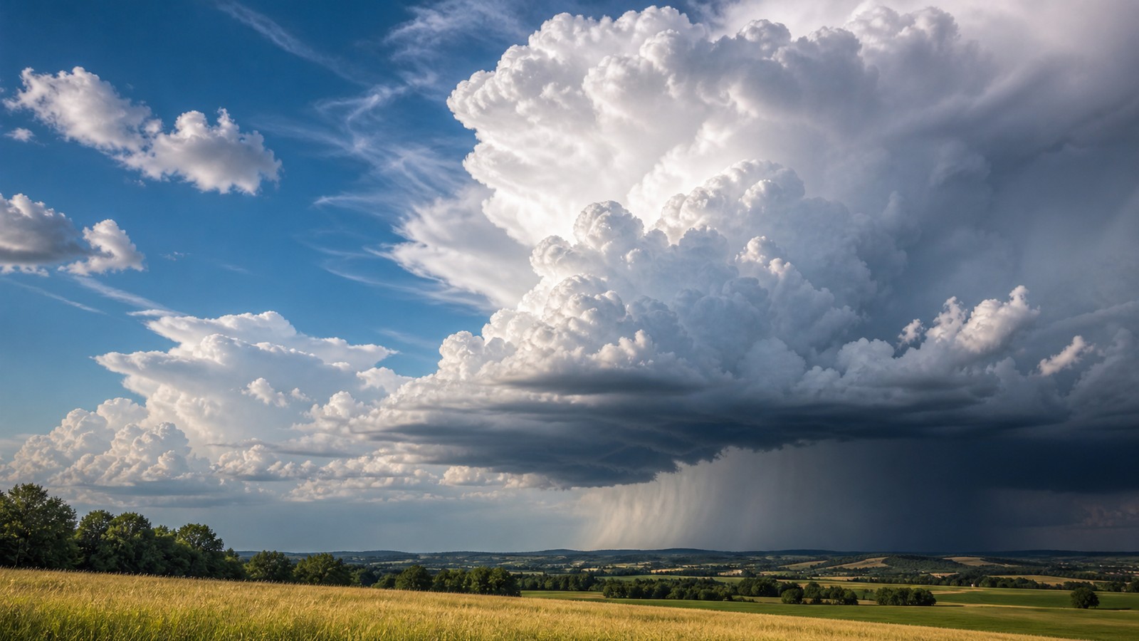
Thunderstorm development often begins with small cumulus clouds. If updrafts keep feeding them, they grow taller and deeper. The cloud top may become cauliflower-shaped as new bubbles of rising air push upward. Eventually the cloud reaches levels cold enough for ice, and the storm begins producing stronger precipitation and electrical charge separation.
A mature cumulonimbus cloud can extend many miles into the atmosphere. Its top may spread into an anvil when it reaches stable air near the tropopause. Inside the storm, updrafts carry droplets and ice upward while precipitation falls through downdrafts. Lightning, thunder, heavy rain, gusty wind, and sometimes hail become possible.
The cloud’s vertical depth is what separates a thunderstorm from an ordinary rain shower. Thunder requires lightning, and lightning requires a storm deep and cold enough for mixed ice processes to build charge.
Downdrafts Eventually Fight the Updraft
As precipitation grows heavy, it begins falling. Falling rain and hail drag air downward. Evaporation cools air, making it denser. That sinking air becomes a downdraft. When the downdraft reaches the ground, it spreads outward as gusty outflow. This outflow can cool the surface air feeding the storm and weaken the updraft.
In a simple pulse thunderstorm, the downdraft often destroys the storm that created it. The storm rises, rains hard, sends out cool air, and collapses. That life cycle can happen in less than an hour. The outflow may then trigger new storms nearby, creating a chain of development.
In organized storms, wind shear can separate the updraft from the downdraft. That separation lets the storm last longer because rain does not fall directly through the inflow. This is one reason wind shear matters for severe thunderstorms.
Wind Shear Shapes Storm Type
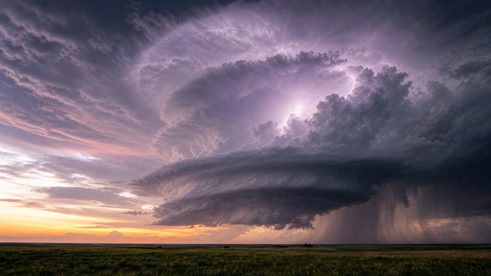
Weak wind shear favors short-lived pulse storms. They can still produce lightning, heavy rain, small hail, and localized downbursts, but they usually struggle to maintain organization. Moderate shear can support multicell clusters, where new cells form along outflow while older cells weaken. Stronger shear can support supercells if other ingredients align.
Shear changes how the storm tilts with height. A tilted updraft allows precipitation to fall away from the rising air. That helps the storm keep breathing. Shear also organizes cold pools, squall lines, bowing segments, and rotating updrafts. The same moisture and instability can produce very different storms depending on the wind profile.
This is why severe-weather forecasts look beyond the chance of thunderstorms. The question is not only whether storms form, but what kind of storm structure the atmosphere supports.
Thunderstorms Can Produce Several Hazards
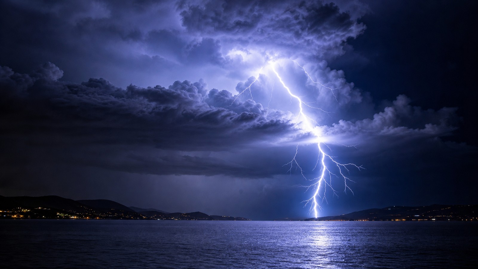
Lightning occurs in every thunderstorm by definition. Heavy rain can cause localized flooding, especially where storms move slowly or repeat over the same area. Hail forms when strong updrafts keep ice suspended long enough to grow. Downbursts occur when downdrafts accelerate toward the ground and spread damaging wind outward.
Severe thunderstorms are typically defined by damaging wind, large hail, or tornadoes, depending on local criteria. A storm does not need to be severe to be dangerous, though. Lightning can strike away from the heaviest rain. Flooding can happen under a slow storm that never produces large hail. Wind from a collapsing pulse storm can damage trees and power lines.
The safest approach is to respect all thunderstorms. If you can hear thunder, you are close enough to be in danger from lightning. If water covers a road, do not drive through it. If warnings are issued, act on the hazard named in the warning.
Why Storms Often Form in the Afternoon
Many thunderstorms form during the afternoon because the ground has had time to heat the air near the surface. That heating increases instability and creates rising thermals. If moisture is available and the cap weakens, cumulus clouds can grow rapidly. Mountain storms and summer pulse storms often follow this daily rhythm.
Not all thunderstorms are afternoon storms. Nocturnal storms can form when a low-level jet increases warm moist inflow after dark. Storm complexes can travel overnight for hundreds of miles. Fronts and tropical systems can trigger storms at almost any hour. The daily heating cycle is common, but it is not the only trigger.
Forecasting thunderstorm timing means watching both the ingredients and the trigger. The atmosphere can be ready for hours before one boundary finally lifts air enough to begin the storm.
Thunderstorm Safety Starts Early
Thunderstorm safety is easiest before the first bolt or warning. Move indoors when thunder is heard. Secure loose outdoor items before gust fronts arrive. Avoid low-water crossings during heavy rain. Have a way to receive alerts if storms are expected after dark.
Outdoor plans should include a shelter option, not only a rain plan. Dugouts, picnic shelters, isolated trees, and open-sided structures are not safe lightning shelters. A substantial building or hard-topped vehicle is much safer. For organized events, someone should watch radar and warnings before the storm reaches the venue.
Understanding thunderstorm formation helps explain why a sunny, humid afternoon can change quickly. Once lift breaks the cap and updrafts strengthen, a small cumulus field can become dangerous weather in less than an hour.
Storms Can Organize Into Clusters and Lines
A single thunderstorm cell is only one possible outcome. When outflow from one storm lifts warm moist air nearby, new cells can form along the boundary. Several cells may grow into a cluster, with old storms weakening while new updrafts develop. This multicell behavior can keep thunder and heavy rain going longer than one pulse storm could manage.
If wind patterns and forcing align, storms may organize into a line. Squall lines can cover many miles and produce widespread gusty winds. Bowing segments can focus damaging wind where the line surges forward. Embedded circulations can occasionally produce brief tornadoes.
Organization changes the public risk. A short pulse storm may be a local lightning and downburst problem. A long line can affect multiple counties with wind, rain, and repeated warnings. The same ingredients can produce very different experiences depending on storm mode.
Storm Motion Controls Rainfall Risk
A thunderstorm’s rainfall hazard depends not only on how hard it rains but how long it stays over one place. A fast-moving storm may produce intense rain for only a few minutes. A slow storm can flood streets with less dramatic radar colors. Training storms, where cells repeatedly move over the same area, are especially concerning.
Storm motion comes from winds through the depth of the cloud and from how new cells form along boundaries. Sometimes the rain core moves one way while the boundary keeps regenerating storms upstream. People under that corridor may receive several rounds while nearby areas stay almost dry.
This is why flash flood warnings can be issued even when a storm is not producing giant hail or tornadoes. Water risk follows rainfall accumulation, drainage, soil saturation, and terrain. A thunderstorm can be ordinary by wind standards and still dangerous by flood standards.
Severe Criteria Do Not Cover Every Danger
A severe thunderstorm warning usually focuses on large hail, damaging wind, or tornado potential, depending on the warning type and local criteria. But lightning, heavy rain, small hail, and gusty outflow can be hazardous even below severe thresholds. A storm does not need a severe label to interrupt outdoor life.
This matters for camps, pools, construction sites, farms, and sports fields. Lightning safety begins with thunder, not with a severe warning. Flood safety begins with water over roads, not with whether hail reached a specific size. Practical storm safety uses warnings and visible conditions together.
Thunderstorms form from ordinary ingredients, but their impacts can escalate quickly. Respecting the early signs gives people time to act before the storm reaches its strongest stage.